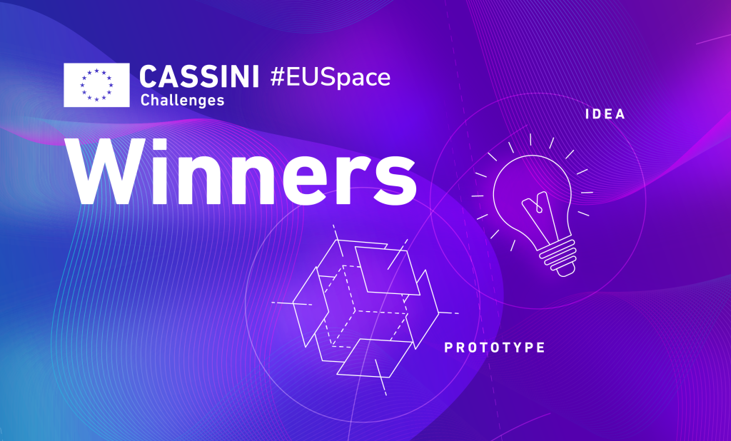
The 2024 CASSINI Challenges winners are here!
Space technology, data, and services have become essential in the daily lives of Europeans, playing a crucial role across a wide range of applications and driving progress in so many sectors.
The 2024 CASSINI Challenges, organised by EUSPA, once again demonstrated how EU Space assets are driving next-generation solutions to real-world problems. This year, the competition’s Idea and Prototype tracks showcased a huge amount of creativity, with innovators across Europe leveraging satellite data and services from Galileo, EGNOS, Earth Observation, secure satellite communication and space surveillance and tracking.
Now it’s time to celebrate the winners from the two Tracks!
The Idea Track
The Idea track celebrated early-stage concepts that bring fresh perspectives to space data application. Applicants presented a conceptual idea and the problem it aimed to solve, outlining the target use cases and customer needs. Despite focusing on ideas, they also included a clear commercialization plan.
Out of many impressive submissions, 15 teams were awarded €10,000 each, kickstarting their journey from concept to reality. Let’s dive into these projects, leveraging EU space data to address a wide range of applications and tackle some of today’s biggest challenges across various fields.
This first group of winners are pushing the boundaries of space safety by enhancing the detection, monitoring, and management of space debris and satellite safety:
- ExoSat uses laser ablation to actively destroy space debris, utilizing the generated thrust to navigate efficiently between targets, combining debris mitigation with propulsion.
- The Novel laser-based concept for identification and tracking aims to develop advanced laser photometric systems designed to precisely detect and track small space debris.
- SpaceGuardian provides a SaaS platform that automates satellite collision avoidance by leveraging predictive models and a cooperative bidding system, improving operational safety in increasingly crowded LEO.
Harnessing the power of satellite data, the next ideas have the goal to protect ecosystems, boost agriculture, and fight pollution with advanced monitoring and analysis:
- NEAMO integrates Copernicus Marine Service data with in situ fish disease monitoring to predict outbreaks on fish farms.
- The Biodiversity Impact and Observation System uses Sentinel-1 and Sentinel-2 imagery combined with Galileo positioning to provide automated, real-time biodiversity monitoring across project lifecycles.
- Terra Metallum applies Sentinel-2 satellite data and machine learning techniques to identify and map heavy metal soil contamination.
- iAgro leverages Galileo positioning and Copernicus multispectral imagery to deliver real-time agronomic analysis, optimizing resource use and crop management.
- Imageryst HIVA uses Sentinel-2 multispectral imagery to analyse vegetation health near energy infrastructure, helping reduce maintenance costs and wildfire risks.
- Tropicalism combines Sentinel-1 and Sentinel-2 data with in situ measurements and climate models to assess land suitability for tropical crop cultivation under changing climate conditions.
- GeoBioRemediation integrates Sentinel-2 and EnMAP data, Galileo georeferencing, IoT monitoring, and bioremediation technology to detect and remediate chromium pollution from industrial sources.
Last but not least, these 5 winning projects advance navigation, infrastructure monitoring and risk management:
- Armadillo delivers GNSS-based guidance, navigation, and control (GNC) for rocket launches, incorporating Galileo OSNMA and SAS to ensure secure and accurate positioning.
- Decen Space develops a decentralized ground station network accessible through a unified platform, using Galileo timing for precise synchronization and efficient resource management.
- AIMS utilizes multispectral and high-resolution satellite imagery combined with AI to detect and classify asbestos-containing roofing materials.
- PeaceEye integrates Copernicus data, Galileo, human intelligence, media sources, and AI-driven analytics to assess risks in volatile regions.
- Twinsat combines Copernicus satellite imagery with digital twin technology and augmented reality to enable detailed, real-time infrastructure monitoring.
Find out more about the Idea Track winners
The Prototype Track
While the Idea track planted seeds for future solutions, the Prototype track was perfect for innovators who had taken their ideas to the next level with a working prototype or beta version, already tested in real-world conditions.
Applicants clearly showcased the use cases their solutions targeted, the customer needs they met, the unique value they offered, and a strong commercialization plan. Each of the 10 winning prototypes, received a cash prize of €30,000!
- InMOTION boosts infrastructure deformation monitoring by fusing Copernicus InSAR, National Lidar data, and Galileo GNSS data, enhancing accuracy and reliability.
- TerraLink delivers secure, rugged wireless mesh networks optimized with Copernicus terrain models for resilient communication and pinpoint localization in tough conditions.
- ADEN transforms chronic skin condition care by combining patient symptom tracking with Copernicus environmental data and AI-driven predictive insights.
- FlyPix AI opens Earth Observation analytics to all, enabling no-code AI model training on satellite and drone imagery for fast, accessible insights.
- Spherical Systems’ Avionics redefines satellite power management with a software-defined PCDU that’s rapidly configurable and cost-effective, accelerating mission readiness.
- SolarCube offers foldable, ultra-light solar panels with double the typical power-to-weight ratio, addressing satellite size and weight limits.
- ISAR 4 GEO captures and reconstructs high-resolution images of GEO satellites using advanced radar and signal processing techniques.
- RESQ-G PULSE equips helicopter liferafts with Galileo-powered emergency beacons that confirm alerts through a two-way communication link.
- SAILWINT pioneers unmanned wind turbine ships harnessing offshore winds, delivering clean hydrogen via satellite-controlled fleets for energy sovereignty.
- NEXTGEN-GS introduces a scalable, triple-band ground station that simplifies satellite traffic management, reducing the need for multiple gateways.
Find out more about the Prototype Track winners
The 2024 CASSINI Challenges weren’t just about ideas and prototypes. With a focus on market-ready or already commercialized solutions, the Product Track will award €100,000 each to seven winners. The Product Track winners will be announced soon!
Media note: This feature can be republished without charge provided the European Union Agency for the Space Programme (EUSPA) is acknowledged as the source at the top or the bottom of the story. You must request permission before you use any of the photographs on the site. If you republish, we would be grateful if you could link back to the EUSPA website.