Emergency Management and Humanitarian Aid
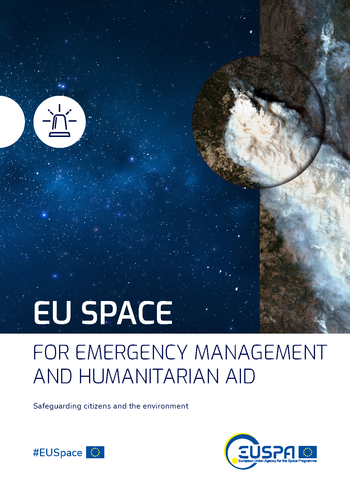
The market segment of Emergency Management and Humanitarian Aid (EMAid) is composed of two major sub-segments: i) Emergency management, dealing with the organization, planning and application of measures preparing for, responding to and recovering from disasters and ii) Humanitarian Aid, consisting on delivering life-saving assistance to those in need. The domain of EMAid, although often seen as a market by and for public entities, relies on an array of commercial players for the provision of services, applications and devices
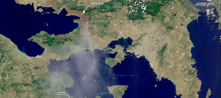
When disaster strikes, communication, information and location are key factors to saving lives. The EU Space Programme provides all three. Copernicus and Galileo allow emergency and humanitarian aid actors to prevent and respond to crises by enabling informed decision making, coordinated operations and a better use of time and resources, while GOVSATCOM provides secure, cost-efficient communication capabilities to security and safety-critical missions. The segment can profit significantly from the synergistic use of the EU Space Programme components.
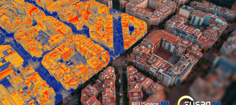
Emergency Management and Humanitarian Aid In Action


Downloads
-
- Language
- EN
- File type and size
- PDF, 4.03 MB
-
- Language
- EN
- File type and size
- PDF, 6.38 MB