GNSS, Earth Observation and SATCOM – a space-based triathlon to Olympic glory
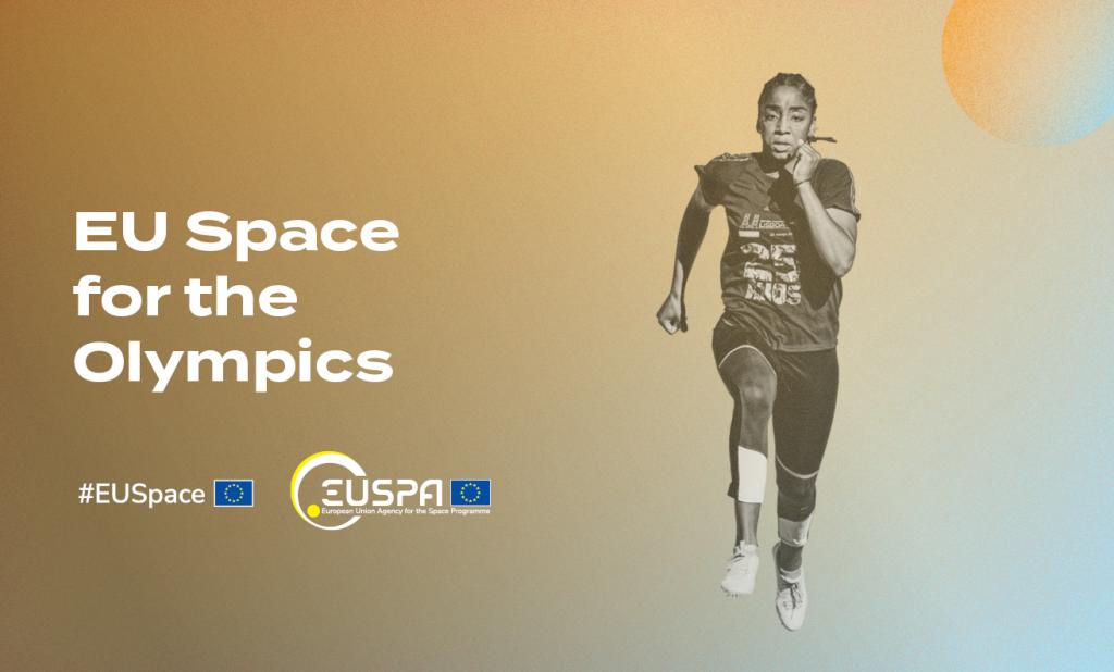
The Olympic Games are beginning, and like the rest of the world, EUSPA couldn’t be more excited. But in addition to rooting for the athletes from our various home countries (EUSPA staff includes 26 different nationalities), we’ll also be cheering on EU Space.
“While the iconic Olympic rings represent the five continents competing in the games, they could just as well represent the orbits of satellites whose data and services have an enormous impact on modern day sports,” says EUSPA Executive Director Rodrigo da Costa.
A gold medal for Galileo
Global Navigation Satellite Systems (GNSS), including Europe’s Galileo constellation, as well as Earth Observation data and satellite communications, power a number of applications for sports.
For instance, according to Eurisy, GNSS, when used in combination with wearable devices or integrated sensors, provides athletes and coaches with critical performance data. These systems also enable the tracking of individuals and equipment and can monitor an individual athlete’s vitals.
Take JOHAN Sports. The company, which once received support from EUSPA, has developed a wearable solution to provide data-driven insights and advice to teams, trainers and players to improve performance and prevent injuries. The wearable motion sensors include a Galileo-enabled positioning tracker and are integrated with heart rate and recovery monitors.
After each use, players and coaches can monitor workload, performance, tactical information and event analysis, allowing players to spot weaknesses and improve their game. Coaches can also use the analysis to better capitalise on certain players’ strengths to the team’s advantage.
Championing Copernicus data
Satellite imagery provides important geographical and environmental information that is relevant to a range of sports and athletic activities.
For example, Earth Observation data can be used to monitor water pollution – of particular interest to those marathon swimmers and triathletes set to dive into the Seine this summer. Specifically, Copernicus data is used to help characterise water quality and track potentially harmful pollutants, information that event organisers can leverage to make informed decisions.
Copernicus data also helps monitor air quality and provide accurate weather forecasts. Here, the Copernicus Atmosphere Monitoring Service (CAMS) uses satellite and ground observations to provide daily air quality forecasts. This information can be used to protect the health, safety and well-being of those athletes practicing or competing outside.
Three cheers for SATCOM!
Space even helps ensure that all of us armchair athletes can enjoy the competition from the comfort of our homes. After all, it’s satellite communications that enable the live transmission of sports events, bringing all the action happening in Paris direct to our televisions and devices specially in remote areas.
“While the gold, silver and bronze medals will rightfully go to the athletes, perhaps we should give an honourable mention medal to the satellite data and services working behind the scenes to make the Olympics an event to remember,” concludes da Costa.
Media note: This feature can be republished without charge provided the European Union Agency for the Space Programme (EUSPA) is acknowledged as the source at the top or the bottom of the story. You must request permission before you use any of the photographs on the site. If you republish, we would be grateful if you could link back to the EUSPA website (http://www.euspa.europa.eu).