Better city planning begins with EU Space

For city planners looking for a better way to manage public spaces and transportation infrastructure, it might be time to look up. And we mean way up – towards space.
“Unlike traditional urban planning tools like manual photography and drones, satellite data offers a range of unique benefits, including large coverage areas, cost-efficiency and high levels of automation,” says Renske Martijnse-Hartikka, senior project manager at Forum Virium Helsinki.
Helping city planners leverage these benefits is the EUSPA-funded SPACE4Cities project.
“By making smart use of European satellite data, we aim to procure replicable solutions for better and more dynamic urban planning and management,” adds Martijnse-Hartikka, who serves as the project coordinator.
A pre-commercial procurement process
Although satellite data is already being used to some extent by cities to manage public areas and infrastructure as stated in the EUSPA EO and GNSS Market report, proof-of-concepts and standards are not yet available. Furthermore, some parts of satellite- and space-based services need to reach a more mature stage in their development to be fully used in urban settings.
In other words, what is needed is a clear demonstration of the technical and economic maturity of available solutions – which is exactly what SPACE4Cities intends to do.
The project is using a pre-commercial procurement process to buy research and development from several suppliers. “We are looking for highly innovative solutions that are not currently present on the market to be designed and piloted in cities across Europe,” notes Martijnse-Hartikka.
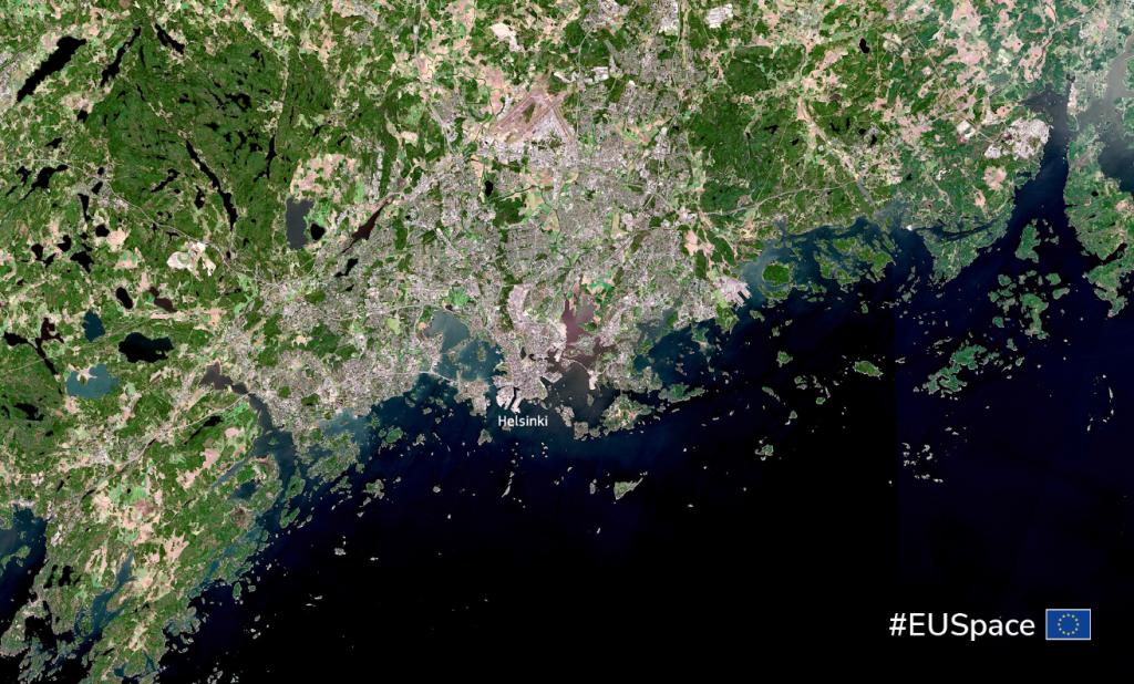
These cities include Amsterdam, Helsinki, Ghent, Guimaraes and Athens.
Addressing actual urban challenges
To ensure the procured solutions meet actual city needs, SPACE4Cities has established a number of challenges for suppliers.
Whether it be sustainable mobility, digital urban planning or climate adaptation, each challenge requires suppliers to solve common problems that many cities regularly face. Furthermore, they must do so using EU Space data. In fact, each solution needs to utilise Earth Observation data from the Copernicus programme, Galileo’s precise positioning or – even better – both.
Following the initial pilots, the five innovations will be replicated in 10 other cities for further validation and development.
Your opinion wanted
To better understand today’s urban planning landscape, SPACE4Cities is holding an open market consultation where providers can share current market practices, propose innovations, comment on the pre-commercial procurement process, and prepare for tender submissions in early 2025.
The results of this consultation will define the requirements of the targeted solutions for procurement and help the project engage with potential suppliers.
A new tool for urban planning
While still in its early stages, the SPACE4Cities consortium is confident that its pre-commercial procurement approach and focus on Galileo and Copernicus data will deliver a vital new tool for urban planning, aiming at making European cities and regions more resilient, functional and liveable.
“By helping urban planners make better use of satellite data and space services, we will make Europe’s cities and regions more resilient, functional and liveable for all,” concludes Martijnse-Hartikka.
Media note: This feature can be republished without charge provided the European Union Agency for the Space Programme (EUSPA) is acknowledged as the source at the top or the bottom of the story. You must request permission before you use any of the photographs on the site. If you republish, we would be grateful if you could link back to the EUSPA website (http://www.euspa.europa.eu).