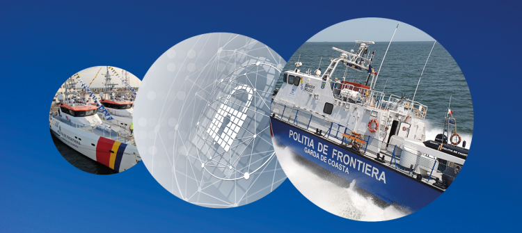
Maritime and Inland Waterways
Thanks to the EU Space Programme, authorities and maritime operators can rely on three different types of satellite data that allow them to see, navigate and communicate. Copernicus provides the near real-time data needed to evaluate the state of the sea, currents and temperature. Moreover, the Copernicus Maritime Surveillance Service allows for vessel monitoring even at night thanks its capability to produce Synthetic Aperture Radar images. Galileo’s accurate signals make navigation easier and more reliable; and satcom data ensures uninterrupted communications – even in the open seas.
Maritime and Inland Waterways In Action


Fast Facts
90%
of maritime receivers are EGNOS-enabled and 30% are Galileo-enabled.
15,000
fishing vessels are equipped with a GNSS-based device providing data to fishery authorities in the EU.
100%
of SOLAS Merchant Vessels are using GNSS.
Downloads
-
- Language
- EN
- File type and size
- PDF, 5.18 MB