
EU Space technology puts ‘Mobility for Everyone’ on track
For a child heading to school, an adult commuting to work or an older person visiting family, reliable public transport can make the difference between being connected and being left behind. This year’s European Mobility Week highlights the need for transport systems that work for people of all ages and across generations. EU Space technologies are helping make this a reality.
Galileo provides positioning services that support public transport and passenger information, while EGNOS improves the accuracy of satellite navigation. In rail, Copernicus Earth observation data help operators monitor railway infrastructure and its surroundings to support predictive maintenance.
These services help make public transport more reliable, accessible and sustainable for people at different stages of life.
From the bus stop …
As the EU’s satellite navigation system, Galileo is embedded in automatic vehicle location (AVL) systems, helping operators monitor fleets and provide passengers with more reliable real-time information.
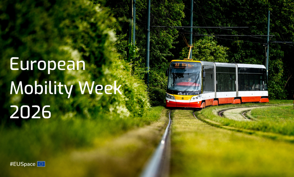
Across Europe, public transport authorities are already putting this technology into practice. In Spain, the Barcelona Metropolitan Transport Authority installed Galileo-enabled technology across 916 buses operated by 27 companies, giving passengers a more accurate view of vehicle locations. Further south, EMT Valencia adopted the same technology to improve real-time information for the more than 100 million passengers it serves annually. In Czech Republic, the Prague trams are using multi-frequency satellite receivers and the European Union satellite navigation system Galileo for their position.
Luxembourg is equipping 1,700 buses - its entire national fleet - with Galileo-capable technology to improve positioning and traceability. Transport for London has also chosen to include Galileo in a new system designed to manage operations across more than 8,000 buses, around 700 routes and over 19,000 stops. In Ireland, a new unified system will bring Galileo to more than 2,300 buses, providing passengers with more accurate arrival information through on-street displays and mobile apps.
These are not isolated initiatives. The EU-funded JULIA project is building a public observatory of EU Space data and services in public transport, mapping how cities and operators across Europe are adopting Galileo and inviting more authorities and providers to share their results.
… to the train station
A similar trend is emerging in rail. The Global Navigation Satellite System (GNSS) is integrated into digital passenger information systems, providing real-time travel updates to rail users. Galileo and EGNOS are also used for asset management, wagon telematics and signalling, while their further integration is being explored to support the future evolution of the European Rail Traffic Management System (ERTMS).
A recently formed expert group brings together EUSPA, Europe's Rail Joint Undertaking (EU-Rail), the European Union Agency for Railways (ERA) and the European Commission to accelerate space-enabled rail solutions, building on initiatives such as EGNOS4Rail and exploring satellite communications for safety-critical applications.
Meanwhile, Copernicus and Interferometric Synthetic Aperture Radar (InSAR) support climate resilience by tracking ground deformation, slope stability and vegetation. As rail moves towards automation and predictive maintenance, EU space technologies are helping turn safer, smarter and more climate-resilient railways into an operational reality.
Smarter journeys, safer networks
Galileo also plays a role in how people plan their journeys. Mobility as a Service platform, which combine public transport, ride-hailing, bike and car sharing into a single app, rely on precise, continuous positioning to plan routes and price journeys dynamically. According to the EU Space Market Report 2026, in cities leading on this model, such as Barcelona, Helsinki and London, public transport use has risen by up to 10%, while private car use has reduced by half, alongside rapid growth in bike sharing.
Beyond passenger information systems, EUSPA is supporting the integration of Galileo, EGNOS and Copernicus to deliver user value across transport sectors. As European Mobility Week 2026 demonstrates how modern, multi-modal networks can bridge generational divides, Europe’s space infrastructure is proving that the future of mobility belongs to everyone, ensuring that no commuter is left behind on the road ahead.
Media note: This feature can be republished without charge provided the European Union Agency for the Space Programme (EUSPA) is acknowledged as the source at the top or the bottom of the story. You must request permission before you use any of the photographs on the site. If you republish, we would be grateful if you could link back to the EUSPA website.