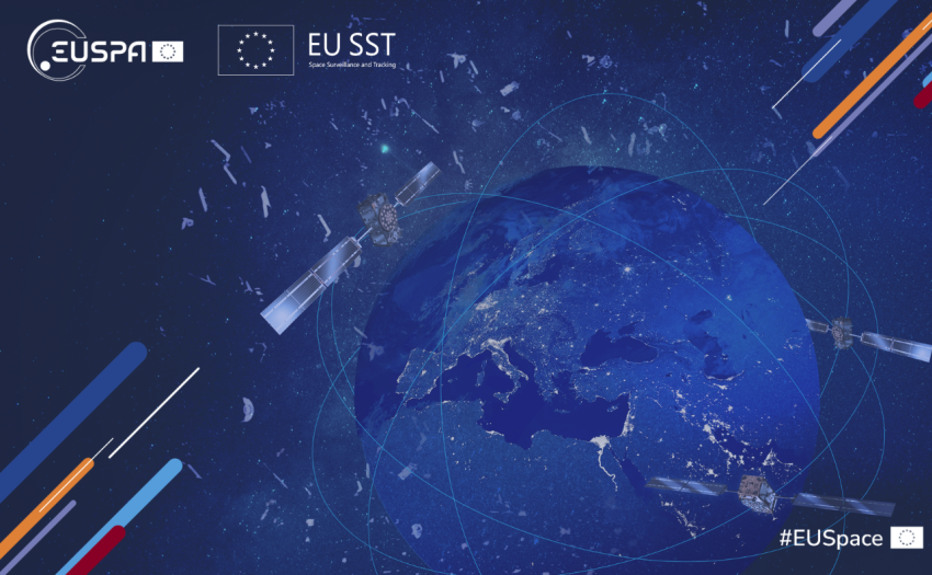
Marking a decade of service and three years of EUSPA’s Front Desk operations, EU SST is a cornerstone of the European Union (EU)’s space situational awareness, enhancing space assets protection.
An ambitious agenda anchored in competitiveness, values and security is being pursued by the Irish Presidency with EU Space positioned as a key instrument in delivering Europe’s strategic resilience and innovation.
Around 50 members gathered in mid-June in Prague to reinforce cooperation across the European space sector, enhance cybersecurity resilience and advance strategic priorities.
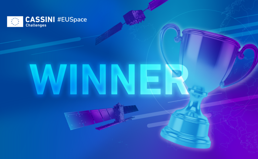
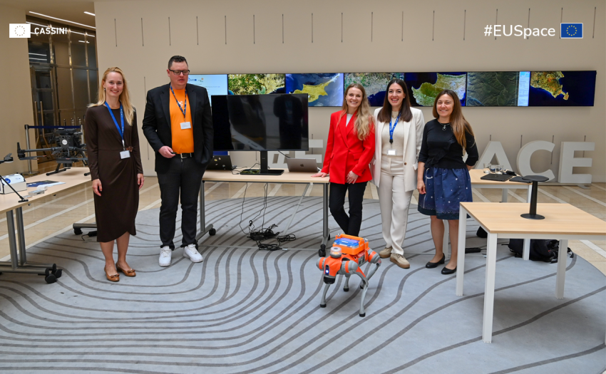
Twelve visionary European start-ups have been named the winners of the CASSINI Challenges 2026, each securing EUR 100 000 to accelerate their space-based solutions tackling climate, security and infrastructure challenges.
The new CORDIS Results Pack showcases EUSPA Horizon Europe projects driving resilient, sustainable and smarter mobility through innovative, market-ready applications of EU space data and services.
The EU Space Surveillance and Tracking Partnership has grown to 19 members, reinforcing the European Union capacity to safeguard satellites and deliver space safety services to an expanding user community.
This annual event brings together promising startups, investors, accelerators, and industry and institutional leaders to discuss how European Union space tech ventures are adapting to evolving geopolitical and market dynamics.