From enhancing European Union’s security to strengthening its competitiveness and advancing the green transformation, EU Space will play a key role in supporting the priorities set by the Danish Presidency of the Council of the European Union.
27 June is Micro-, Small, and Medium-sized Enterprises Day! To celebrate, EUSPA looks at the many ways it continues to support Europe’s space-based SMEs.
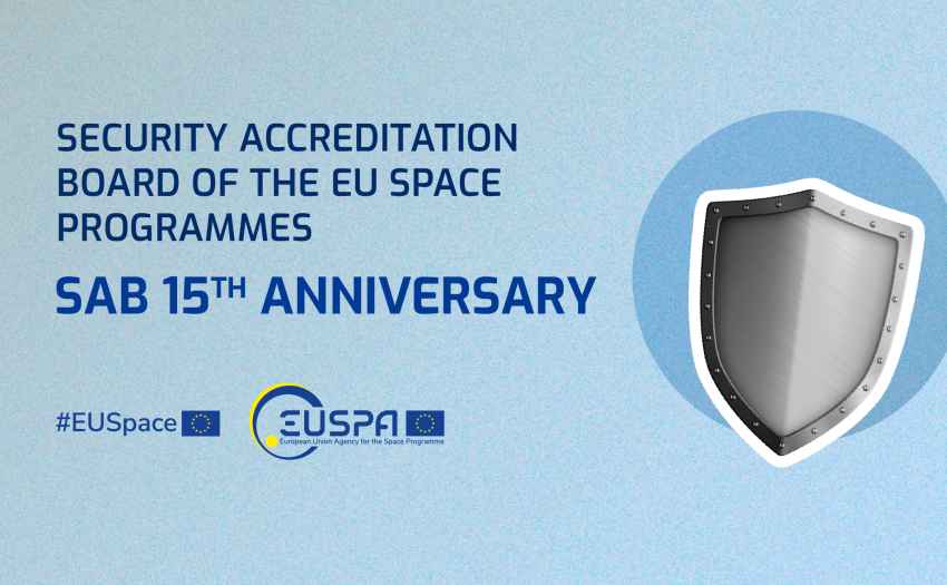
This year marks a significant milestone in the journey of the Security Accreditation Board (SAB), as it proudly celebrates 15 years of dedicated service as the accreditation authority for the entire EU Space Programme and all its components: Copernicus, EGNOS, Galileo, GOVSATCOM, IRIS2, and SSA.
A group of Canadian scientists at the University of New Brunswick has become the first to make use of Galileo’s High Accuracy Service (HAS) in Antarctica to create ultra-precise 3D maps of underwater terrain in a place with no RTK networks or Internet.
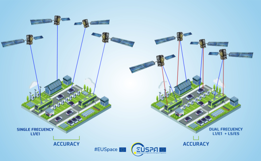
Having a Galileo-enabled phone provides the advantage of more satellite signals for calculating your position. With the Galileo constellation now having a significant number of operational satellites (in particular, 27 satellites are operational and contributing to service provision) along with GPS and other GNSS, your device can achieve better location accuracy and faster fixes, especially in challenging urban environments where signals can be obstructed.
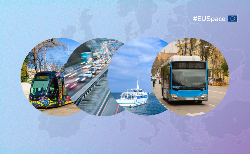
European GNSS and Copernicus Earth Observation data not only play a key role in individual modes of mobility, they are also essential to creating a truly intermodal transport system.