EU Space and agriculture
-
Farming by satellite

-
Benefitting farmers

-
Copernicus in the field

-
Galileo and EGNOS on the farm

-
Facts and figures

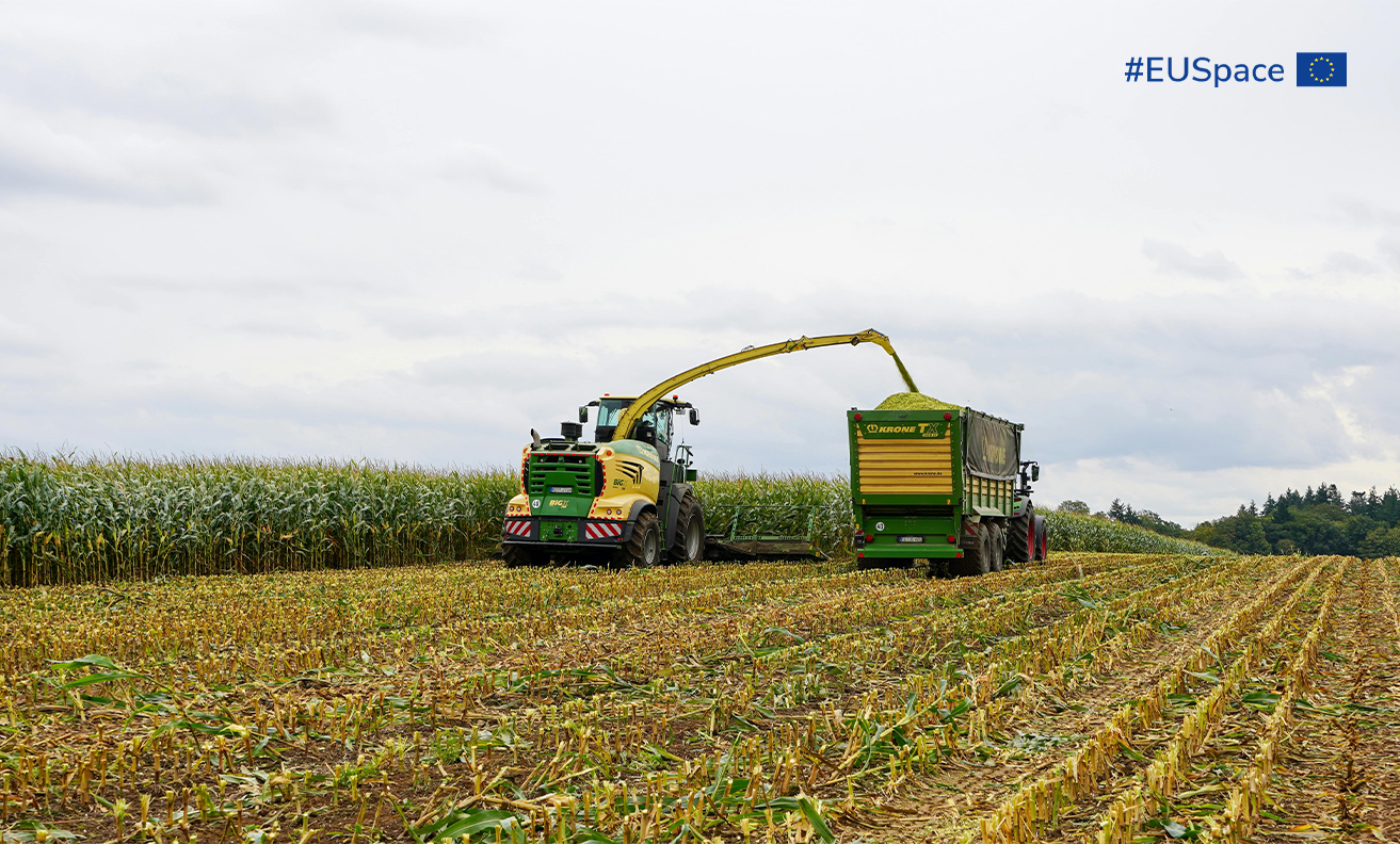
Farming by satellite
Space technologies are pushing agriculture towards new frontiers. While Earth Observation (EO) plays a vital role in such day-to-day farming operations as crop monitoring, sustainable nutrient management and soil restoration, farmers rely on the precise positioning of GNSS to guide their machinery, automate operations and increase yields.
Benefitting farmers
EU Space offers numerous direct benefits to farmers, including:

optimising crop yields
increasing productivity and profits

saving time

decreasing environmental impact

eliminating waste and the over-application of fertilisers and herbicides

reducing equipment maintenance and extending its lifespan

compliance with EU policies
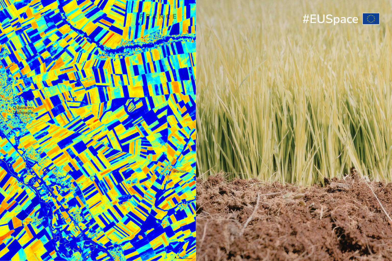
Copernicus in the field
With its global, free and open data from the Sentinel satellites and dedicated services, Copernicus has become a key instrument for precision farming:
- Copernicus data is used to monitor crop seasons, helping farmers determine what areas to plant and harvest.
- Copernicus provides information on site-specific crop properties over broad areas – information that can increase the efficiency of farming operations.
- Copernicus images are used to evaluate and provide information about drought risks and crop yields.
- Copernicus data can measure soil quality, distinguish between crop types, and monitor the health and maturity of yields.
- Copernicus data helps farmers ‘see’ which crops will benefit from pesticides, resulting in significant costs savings and potential increases in yields.
Galileo and EGNOS on the farm

EGNOS is an affordable entry-level solution for precision agriculture with free sub-meter accuracy over Europe for basic-value crop cultivation.
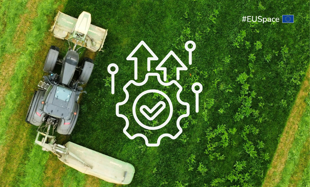
Galileo and EGNOS serve a key function for:
- Precision positioning for field operations: enable accurate field measurement, boundary mapping and guidance for machinery.
- Livestock monitoring and management: support individual livestock positioning, supervised tracking and applications such as virtual fencing.
- Optimised crop management: enable precision agriculture practices such as variable-rate technology and targeted application of fertilisers and herbicides.
- Increased efficiency and reduced costs: save time, increase productivity and profit margins and extend equipment lifetime by optimising use.
- Environmental sustainability and compliance: reduce waste, minimise environmental impact and help farmers comply with EU environmental and agricultural policies (e.g. support geotagged photo application to complement EO data within the CAP).
Facts and figures
With EU Space, farmers can:
- increase crop yields by more than 10%
- reduce the use of fuel, fertiliser and pesticides by up to 20%
- limit agricultural methane emissions by 30%
- enhance efficiency by 10-15%
- achieve 25% water savings