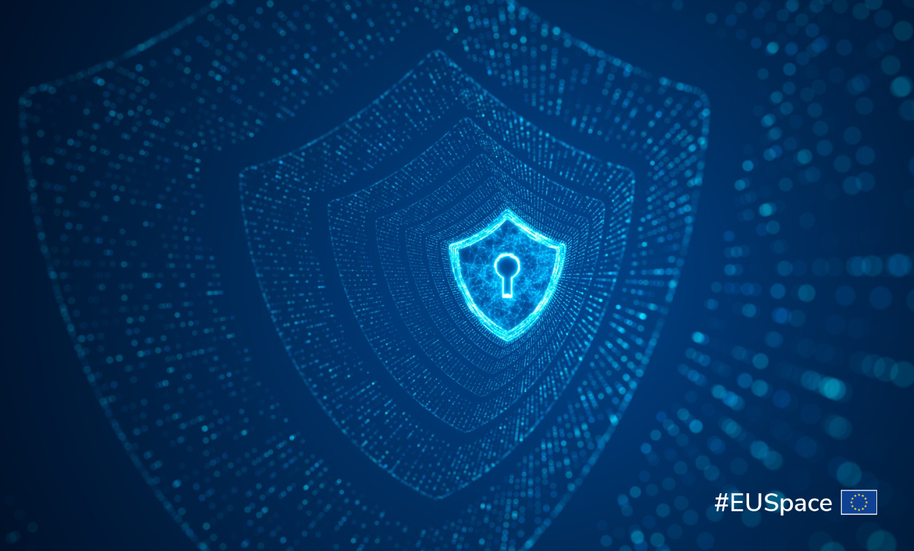
EU Space for border management and internal security
-
How does EU Space help keep Europe safe?

-
Copernicus in action

-
Galileo in action

-
GOVSATCOM in action

-
The power of synergy

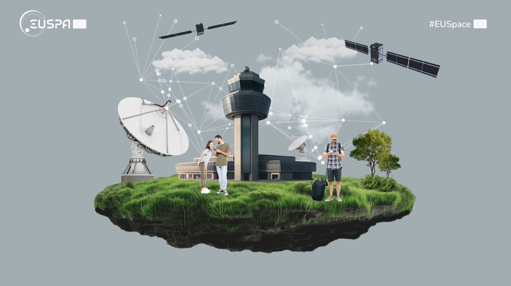
How does EU Space help keep Europe safe?

Galileo delivers robust and accurate positioning, navigation and timing information that is used to coordinate cross-border activities and enhance the operational effectiveness of response efforts.

Copernicus provides authorised end-users with geospatial data and products that support risk analyses, and deliver enhanced situational awareness for informed decision making.

GOVSATCOM supports critical missions providing border and maritime surveillance, customs operations and law enforcement with robust and assured space-based communications.
Copernicus in action
Earth Observation (EO) services play a big role in border surveillance.
The Copernicus Security Service provides authorities with near real time data on what’s happening around the EU’s land and sea borders. This information can contribute to improving safety, strengthening internal security, and addressing cross-border challenges.
- Copernicus Border Surveillance Service
- Copernicus Maritime Surveillance Service
- Support to EU External and Security Actions
Copernicus Border Surveillance Service
As part of the Copernicus Security Service, the Copernicus Border Surveillance service component aims at supporting the EU’s external border surveillance information exchange framework (EUROSUR) by providing near real time data on what is happening on land and at sea around the EU’s borders.
Copernicus Maritime Surveillance Service
The Copernicus Maritime Surveillance (CMS) service component provides data that maritime authorities can use to detect, track and potentially identify vessels that could be engaged in illegal activities, as well as lifeboats.
Support to EU External and Security Actions
Finally, the Copernicus Security Service component on Support to EU External and Security Actions (SESA) assists the EU and its Member States in the framework of EU policies and legislation along the following main policy groups: EU external action; security challenges facing the EU and its Member States; and monitoring of the implementation of EU law.
Galileo in action

By helping border and maritime authorities track the movement of people, assets and goods, and by navigating security practitioners in harsh environments and remote areas, Galileo positioning data can help counteract illegal activities as well as detect and mitigate the cross-border transport of illicit goods such as drugs and firearms.

Authorities can also use positioning data from phones, vehicles or drones and dedicated tracking devices to help trace the movements of suspected victims of human trafficking and investigate potential trafficking routes.
GOVSATCOM in action
GOVSATCOM provides secure, resilient and cost-efficient satellite communication capabilities that authorities use to enhance law enforcement and surveillance, including border and maritime as well as illegal trafficking surveillance.
The GOVSATCOM Hub acts as a coordination and access point that connects authorised users with available satellite communication capacity from different providers. The Hub ensures that authorised public authorities can securely access the communication services they need to coordinate law enforcement and surveillance operations, securely exchange information and respond effectively to cross-border threats.
The power of synergy
The combined use of Galileo positioning, Copernicus data and services, and GOVSATCOM enables the early detection of events or movements that could impact EU border control activities, as well as a rapid and effective reaction to associated threats.
This also helps enhance law enforcement and border surveillance operations by providing accurate and reliable navigation in synergy with earth observation products and secure communications to safely coordinate border police and coast guards, and to track sensitive assets.