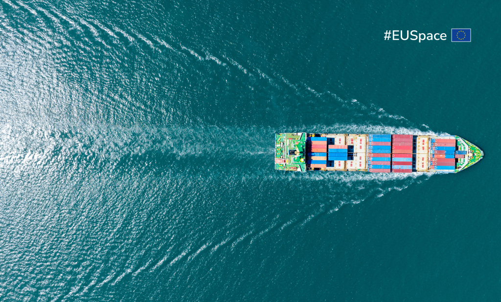
EU Space in maritime and inland waterways
-
Smooth sailing with space

-
Support from space

-
Aiding port authorities

-
The added value of EU Space

-
Benefitting the blue economy

Smooth sailing with space
With EU Space it’s anchors away towards a better blue economy. Working in synergy, Earth Observation and GNSS help optimise ship routing, leading to a more efficient, safer and sustainable maritime sector. Furthermore, in addition to being a critical tool for navigation, GNSS supports the transition towards more digital and autonomous vessels and smart ports.
Support from space
Galileo, EGNOS and Copernicus support a wide range of maritime related activities, including:
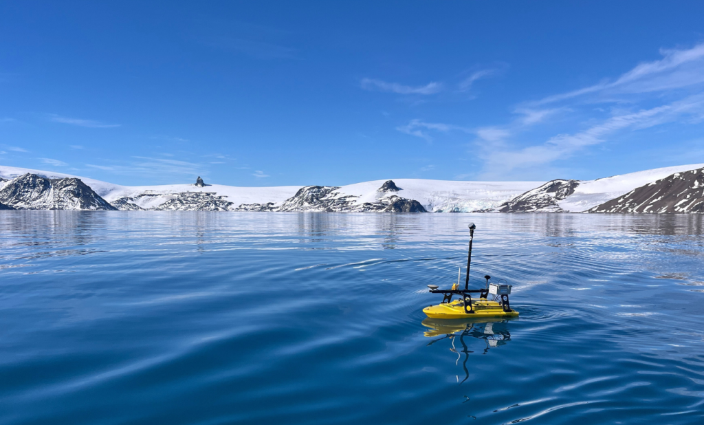
- autonomous shipping
- dredging
- GNSS vessel engine management systems
- inland waterway navigation
- marine surveying and mapping
- merchant navigation
- pilotage and docking
- pollution monitoring
- port automation
- search and rescue operations
- ship route optimisation including through sea ice
- traffic management

Aiding port authorities
Boats are getting bigger and, as a result, shipping lanes are feeling the squeeze.
This is where EU Space comes into play.
- EGNOS-based portable pilot units provide increased confidence and accuracy in a vessel’s in-port positioning.
- GNSS positioning enhances the precision of tools used to manage vessel movements, increasing both safety and efficiency.
- Advanced location and navigation solutions based on Galileo and EGNOS help automate port vehicles at significantly lower cost.
- Copernicus supports port security and helps with the monitoring of pollution and water quality.
- Galileo, EGNOS and Copernicus support inland waterway navigation, a key link in the modal shift bringing goods from ports into inland regions, by making navigation safer and identifying water edge changes and support object detection.
The added value of EU Space

With Galileo OSNMA, vessels can verify the authenticity of GNSS information, ensuring that the data they receive comes from Galileo and has not been modified (i.e., spoofed).

Offering high-accuracy positioning service, Galileo HAS is particularly beneficial to merchant navigation and piloting operations in ports and inland waterways, as well as offshore supply vessels with dynamic positioning and autonomous surface vessels.

Providing a portfolio of products to monitor the state of the sea, the quality of waters, and the depth of the seabed, the Copernicus Marine Service helps optimise routes, update coastal nautical charts and monitor pollution.
Copernicus also makes navigating inland waterways safer by spotting water edge changes and objects that could otherwise endanger the navigation in such narrow channels.
Benefitting the blue economy
- The accurate navigation offered by Galileo and EGNOS, and metocean data through Copernicus, helps optimise routes, resulting in less fuel being used and less carbon being emitted.
- EU Space helps maritime operators comply with the International Maritime Organisation’s greenhouse gas strategy.
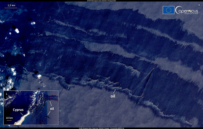
- Optical and Synthetic Aperture Radar images by Copernicus are used to detect oil spills. When combined with accurate positioning from Galileo, they assist authorities to reach the incident site easily and thus mitigate the negative impacts of oil spills.