Sign Up Now! 2014 European Satellite Navigation Competition’s Galileo Masters/GSA Prize Now Open
Disclaimer
This page has been archived and is provided for historical reference purposes only. The content and links are no longer maintained and may now be outdated.

The 2014 edition of the European Satellite Navigation Competition, of which the GSA is a proud partner, officially kicked off at the European Navigation Conference in Rotterdam on 15 April.
Now in its 11th year, the European Satellite Navigation Competition (ESNC) has grown into a leading global network of 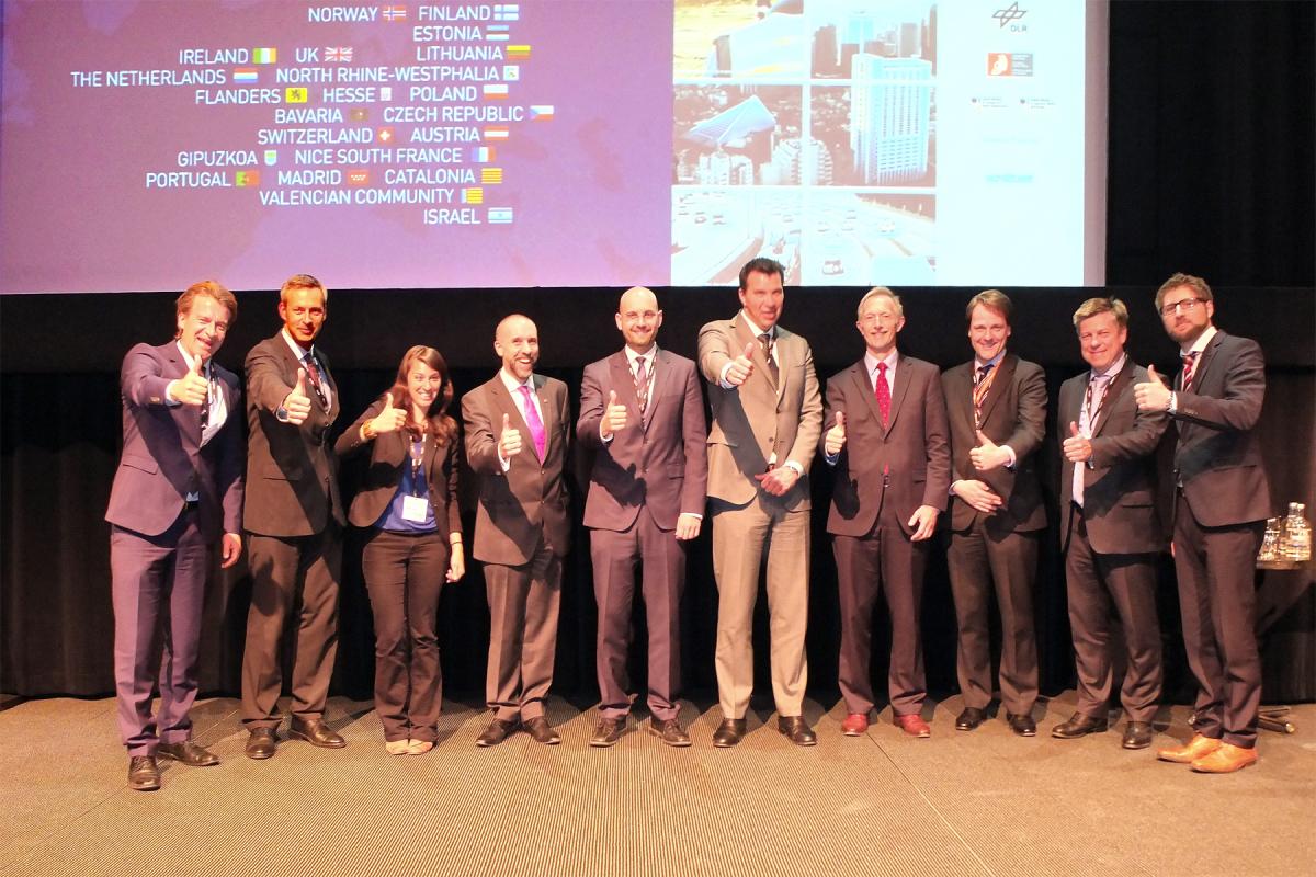 innovation and expertise in the field of GNSS. With the purpose of identifying and supporting the services, products and business innovations that utilize satellite navigation in everyday life, each year the ESNC awards prizes that includes cash, business incubation, coaching, patent consulting, prototyping and marketing support, among others.
Since its launch in 2004, the ESNC has welcomed more than 8,000 participants from 4,263 registered teams – awarding a total of 204 winners. Many of these winning projects have already been implemented and successfully brought to market.
The 2014 edition has a prize pool of over EUR 1 million. The deadline for submissions is 30 of June.To participate, one must sign up via the website, choose the prize they are competing for, and submit their business case.
The GSA Special Prize
In addition to being a supporting partner, for the sixth consecutive year the GSA will be sponsoring the GSA Special Prize for the Most Promising Application Idea for European GNSS.
Speaking at the kick-off event, Jean-Marc Piéplu, EGNOS Exploitation Program Manager at the GSA, noted that the  objective of the prize is to support the development of applications that create demand for EGNOS and Galileo while also providing economic and social benefits. “Now it is time to fully exploit the potential of applications based on EGNSS,” he said. “We are looking for innovative ideas for satellite navigation applications that raise the bar in terms of technical operation, market potential, innovation and exploitation of EGNSS signals, along with contributing to the adoption of both EGNOS and Galileo.”
In particular, the GSA is looking for business cases that clearly use positioning as a key enabler and EGNSS as the primary means for positioning. Piéplu also noted that proposals should address specific business opportunities or have a demonstrated impact on social issues. The ability to be developed as a new venture or spin off as an EU business incubator is another positive factor.
The winner will have the opportunity to develop their idea at a suitable incubation center for a six month period, with the option of a six month extension based on an initial evaluation.
Past Successes

The GSA Special Prize has a strong track record of supporting successful business ventures.
For example, last year’s winner JOHAN developed a system to provide real-time, precise tracking of athletes using EGNOS and, in the future, Galileo. Athletes wear GNSS devices to track their movements, accelerations and heart rates. The data is transferred wirelessly to the coach’s laptop for analysis. Earlier this year, the project launched its incubation at the ESA BC Noordwijk in the Netherlands.
2012 winner Geko Navsat integrates advanced features of satellite navigation systems, smartphone capabilities and 3D sound technologies to provide the user an augmented acoustic reality without the need for visual or oral instructions. This is particularly helpful to those with visual impairments or when one is operating in an area of restricted visibility.
With unmanned aircraft such as drones becoming increasingly common, 2011 winner UAVTCAS continues to make waves. Its Mini-UAV Traffic Collision Avoidance System uses GPS and EGNOS to allow UAVs to navigate safely in a controlled airspace.
The 2009 winner, Nogago, is an outdoor navigation system providing the functionality of stand-alone outdoor navigation systems. It connects to the internal GPS of a smartphone to track your travels, speed and distance – making it a popular training tool for running, hiking and cycling. Today, it offers an all-in-one solution for hikers and bikers via an Android and Blackberry capable application.
Wikitude Drive, the world’s first fully-functional mobile augmented reality (AR) navigation system with global maps, was the 2010 winner. The light-weight turn-by-turn navigation system uses AR to draw driving instructions directly into a smartphone’s live video stream. Today, the company has launched version 3.3, along with an app designed for use with the all-new Google Glass.
Sci-Tech, the 2008 winner, presented a person-over-board project that aimed to exploit a recognized gap in the commercial and marine leisure markets by combining a crew overboard alarm with a real-time tracking and retrieval system. Following a successful prototype testing, today the company has expanded its original idea to create a ‘ruggedised’ marine tracker. The company operates out of the Harwell, Oxford Space Cluster and is nearing completion of its Diver Tracking Alert system.
Jean-Marc Piéplu, EGNOS Exploitation Program Manager, GSA
Media note: This feature can be republished without charge provided the European GNSS Agency (GSA) is acknowledged as the source at the top or the bottom of the story. You must request permission before you use any of the photographs on the site. If you republish, we would be grateful if you could link back to the GSA website (http://www.gsa.europa.eu).