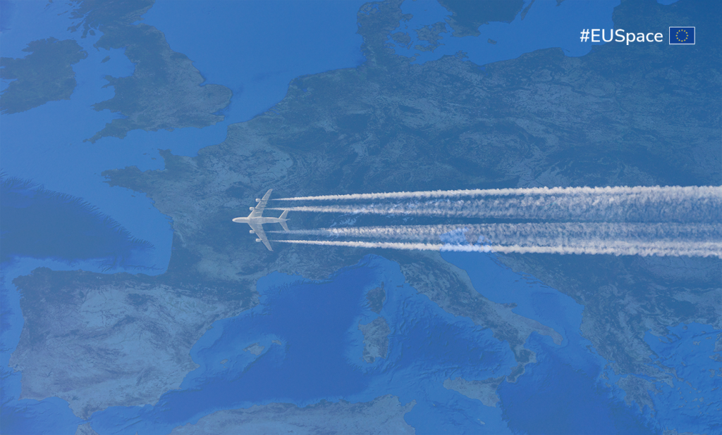
Copernicus data supporting Flight Procedure Design

The use of standard instrument flight procedures on board is not only a common feature in modern aviation but also a critical and mandatory requirement for operational efficiency and safety. These procedures ensure the safe and organized integration of traffic into controlled airspace. Current Performance-Based Navigation (PBN) procedures are preloaded into the aircraft’s navigation database. Once selected, the aircraft automatically follows the procedure, and pilots are not allowed to modify any waypoint or track. This strict limitation underscores the criticality and reliability of these procedures.
In Europe, the design of instrument procedures is regulated by EU Regulation 373/2017, and only certified organizations are authorized to provide standard flight procedures. A key element in the quality assurance of procedure design is the accuracy of terrain and obstacle data. Flight Procedure Design (FPD) providers typically rely on multiple sources, both global and local.
Since the EUSPA 2022 User Consultation Platform (UCP), the potential use of Digital Elevation Models (DEM) generated by the Copernicus programme was proposed and tested for several aviation applications, including airport obstacle assessment, airline route analysis, and flight procedure design. Among these, flight procedure design emerged as the most promising area where Copernicus DEM datasets could bring significant value. One of the main issues identified, however, was the limited awareness of Copernicus DEM—particularly among FPD providers within Air Navigation Service Providers (ANSPs). To address this gap, EUSPA, in collaboration with ESSP, initiated the development of user guidelines to explain the product, as well as how to access and apply it.
The application and its potential were presented again at the EUSPA 2024 UCP, where user comments and requirements were collected. At that time, EUSPA also announced its intention to publish user guidelines and to organize a webinar to further explain them. The webinar took place in March 2025, and a draft version of the guidelines was distributed to three FPD organizations for validation before their official publication.
FPD users participating in both the UCP and the webinar will continue to receive updates on DEM GLO30 developments. This group will also serve as a forum to discuss open issues and share experiences regarding the use of elevation models in flight procedure design.
Beyond DEMs, other Earth Observation datasets from the Copernicus programme can also support flight procedure design and implementation. For instance, population density data from GHS-POP can be used to assess the noise impact of standard procedures followed by thousands of aircraft. Noise exposure is a major concern in flight procedures implementation. GHS-POP provides a valuable tool for identifying alternative tracks that minimize the number of people affected. This dataset is already widely used for defining drone routes as a standard input for the Specific Operations Risk Assessment (SORA). It could be applied in a similar way to manned aviation flight procedures.
"Whenever there is an opportunity to support the aviation community, we are always ready to encourage innovation and respond to operational needs, ensuring that solutions remain relevant and effective through continuous user consultations and validation efforts. This commitment to collaboration will pave the way for safer, more sustainable, and more efficient aviation, fully leveraging the vast potential of EU Space data," concludes Kateřina Peña, EUSPA Space Downstream Market Officer.
Media note: This feature can be republished without charge provided the European Union Agency for the Space Programme (EUSPA) is acknowledged as the source at the top or the bottom of the story. You must request permission before you use any of the photographs on the site. If you republish, we would be grateful if you could link back to the EUSPA website.