
EU Space Market Report 2026: smarter cities, protected heritage
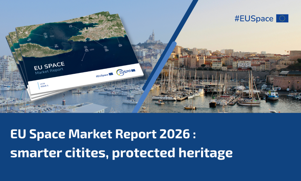
From ancient monuments to modern urban landmarks, Earth Observation (EO) and Global Navigation Satellite System (GNSS) help cities plan, monitor and preserve. The EU Space Market Report explores how the market for these applications is evolving as cities become more digital, sustainable and resilient, and new tools emerge to protect cultural heritage.
European space data and projects enable smarter, safer and climate-resilient cities and heritage sites. At Rodini, part of the ancient necropolis on the Greek island of Rhodes, monuments dating back over two thousand years face threats from earthquakes, floods and slow ground displacement. To track these risks, researchers working within the EU-funded HYPERION project combined more than 100 Copernicus Sentinel satellite images to build a land deformation map of the site, revealing ground movement invisible to conservators on site.
This is one example of a wider shift identified in the EU Space Market Report 2026: cities and heritage authorities are turning to EO and GNSS to detect structural risk, land subsidence, encroachment and other environmental pressures. Such insights can reveal gradual changes that may be difficult to detect on the ground, allowing authorities to act before damage becomes severe or irreversible.
A market on the rise
EO has become an important tool for urban planning, from monitoring informal housing and urban greening to tracking air quality and emissions.
According to the report, revenues from EO services and data used in urban applications reached €157 million in 2024. Surveying and mapping of urban areas accounts for the largest share, at around €84 million. Demand is expected to remain strong through 2034 as cities require up-to-date site data to develop and maintain infrastructure as well as manage planning and land use digitally.
Although cultural heritage monitoring remains a smaller segment, its revenues will nearly double by 2034, driven by growing awareness of climate-related risks to historic sites and the need for non-invasive, repeatable monitoring methods.
Working alongside EO, GNSS provides the precise positioning needed to survey urban landscapes and create detailed 3D models of the built environment.
Total GNSS shipments across urban surveying, mapping and augmentation applications are projected to rise to more than 523 000 units by 2034. The increasing digitalisation of urban planning and the growing use of 3D models and digital twins are some of the drivers behind this expansion.
Modelling risk before it happens
GNSS can also be combined with satellite radar to build digital twins of archaeological sites, supporting conservation planning and risk modelling without the need for constant physical access.
For example, the ERATOSTHENES Centre of Excellence, within the TRIQUETRA project, is developing a digital twin of the Choirokoitia Neolithic settlement, a UNESCO World Heritage Site in Cyprus. The project combines precise satellite positioning, repeated radar satellite observations and drone-based 3D mapping to detect changes over time and model potential rockfalls.
EUSPA’s Copernicus World Heritage Hub, is also making these capabilities more accessible, giving researchers, decision-makers and site managers a single access point to Copernicus data relevant to preserving cultural and natural heritage.
What this means for heritage and cities
By 2034, EO revenues for urban applications are expected to reach around €420 million, with cultural heritage monitoring, urban climate applications and greening gaining ground alongside the surveying and mapping segment.
For European cities and heritage authorities, this opens the door to more informed, proactive decision-making, supporting everything from the observation of protected sites and urban development to the early detection of structural risks. As satellite data become more accurate and accessible, the same tools used to detect risk at Rodini are within reach for many more cities and heritage sites across Europe.
Download the full report to explore the data behind Europe’s changing cities and heritage sites.
Media note: This feature can be republished without charge provided the European Union Agency for the Space Programme (EUSPA) is acknowledged as the source at the top or the bottom of the story. You must request permission before you use any of the photographs on the site. If you republish, we would be grateful if you could link back to the EUSPA website.