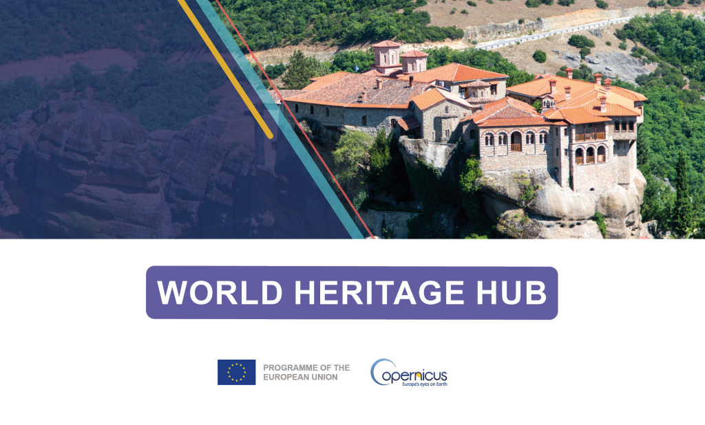
New Copernicus Hub Supports World Heritage Protection
Cultural and natural heritage sites across the world are increasingly exposed to pressures ranging from climate change and natural hazards to urbanisation and environmental degradation.
In response to these challenges, the Copernicus World Heritage Hub has been launched as a new dedicated online platform designed to support the monitoring, protection, and sustainable management of cultural and natural heritage sites.
The Hub provides a central access point to relevant Copernicus Earth observation data, tools, and information, tailored specifically to the needs of the heritage community.
Developed by EUSPA under the Copernicus Programme, the Copernicus World Heritage Hub forms part of the wider Copernicus Thematic Hubs initiative. These thematic hubs focus Copernicus’ vast Earth observation and geospatial data into curated, user-friendly formats tailored to the unique needs of their respective stakeholders.
The new World Heritage Hub consists of a series of use cases focusing on key areas such as: Natural Heritage Monitoring, Cultural Heritage Monitoring, and Risk and Emergency Management. The hub also offers a data viewer where users can explore, visualise, and interact with heritage sites across Europe, gaining a comprehensive insight into their chosen site.
EUSPA’S Role
The development of this hub emphasises the broader mission to link space-derived data with real-world user needs, helping to translate the potential of satellite data into practical solutions for societal challenges. EUSPA supports capacity building, pilot projects, and partnerships that help heritage authorities use Earth observation to prioritise conservation efforts and assess risks, even in remote or resource-limited areas.
Copernicus consists of a complex set of systems that collect data from multiple sources, including Earth Observation satellites called Sentinels, in-situ sensors like ground stations, and airborne and sea-borne sensors. It delivers high-resolution imagery and data. These are valuable for heritage protection as they enable detection of structural instability, monitoring of land-cover and land-use changes, assessment of climate change effects, urban growth tracking, and evaluation of air pollution impacts on fragile sites. This data opens new possibilities for systematic, continuous monitoring.
EUSPA plays a crucial role by ensuring reliable access to this data, promoting its uptake across the relevant sector and stakeholders.
To learn more about EUSPA’s and Copernicus’s role in cultural preservation, see our infographic.
Media note: This feature can be republished without charge provided the European Union Agency for the Space Programme (EUSPA) is acknowledged as the source at the top or the bottom of the story. You must request permission before you use any of the photographs on the site. If you republish, we would be grateful if you could link back to the EUSPA website.