Safer Drone Operations Through Verified Use of Copernicus Population Data
Copernicus, as Europe's Earth Observation programme, is increasingly important for the preparation of drone operations, especially for the ground risk assessment. Building on a suggestion from the User Consultation Platform (UCP), a demonstration was organised to showcase Copernicus support for drone operations.
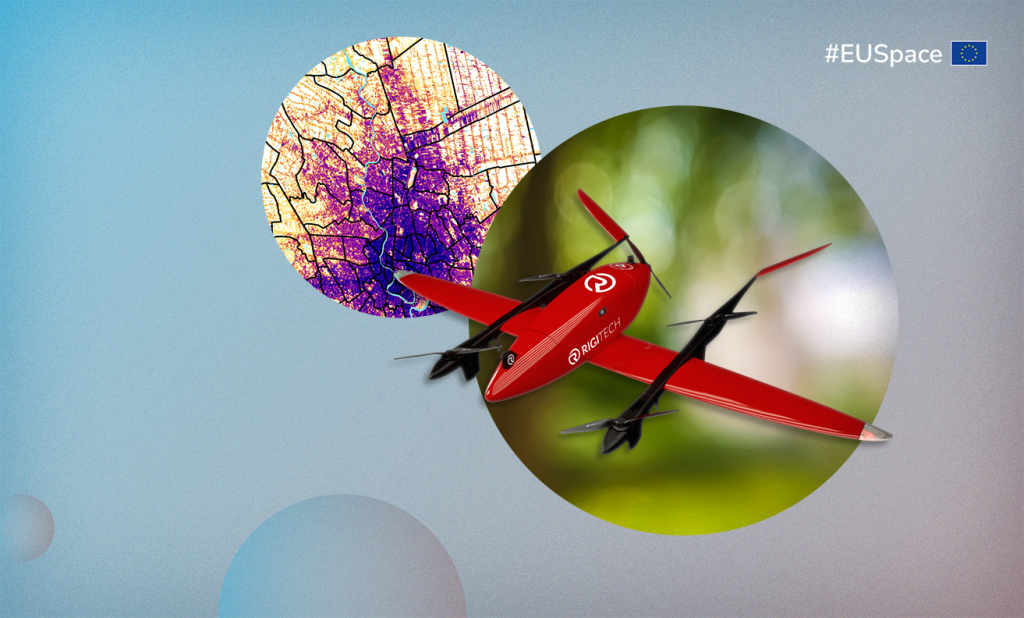
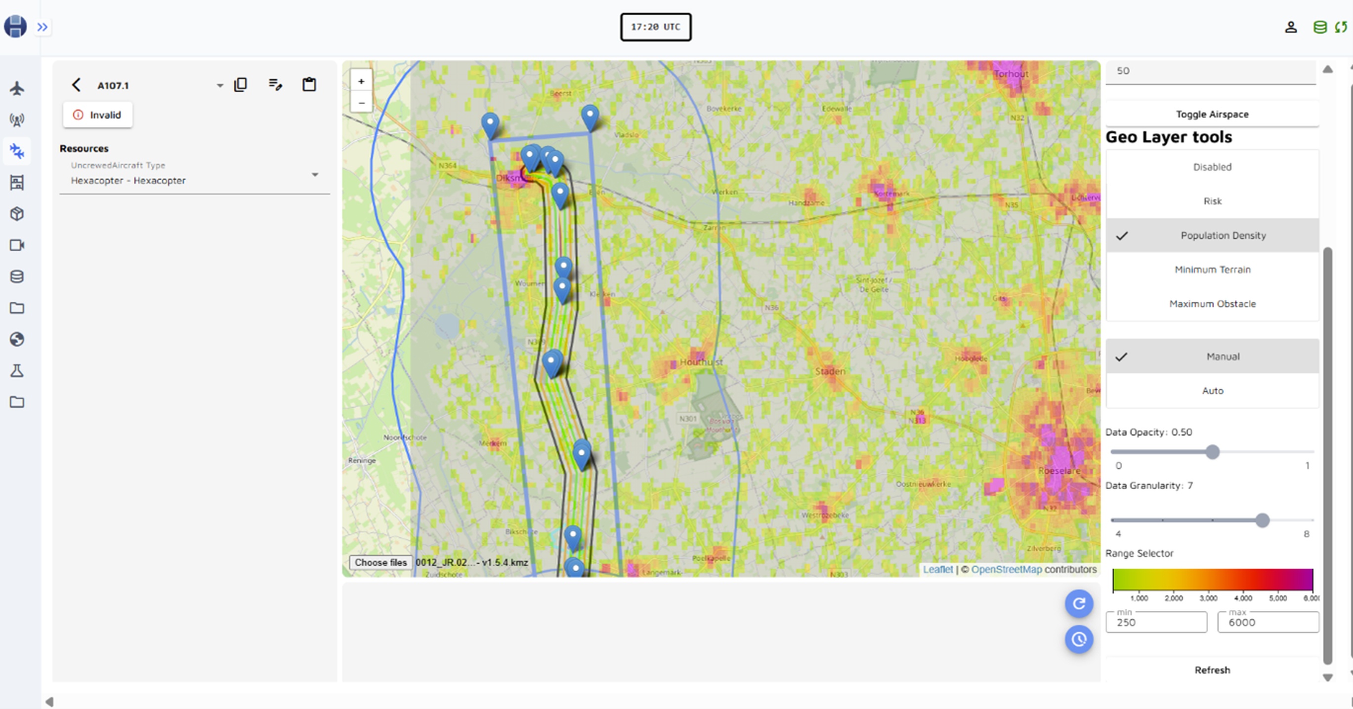
As the European Union Aviation Safety Agency (EASA) is set to introduce the Specific Operation Risk Assessment (SORA) version 2.5, ground risk assessment will shift to a quantitative approach, increasing the demand for accurate population density data. And here is where the added value of Copernicus data comes in: it provides free, regularly updated static population density data covering all of Europe (and worldwide via Global Human Settlement Layer (GHSL), making it the primary starting point for ground risk assessments.
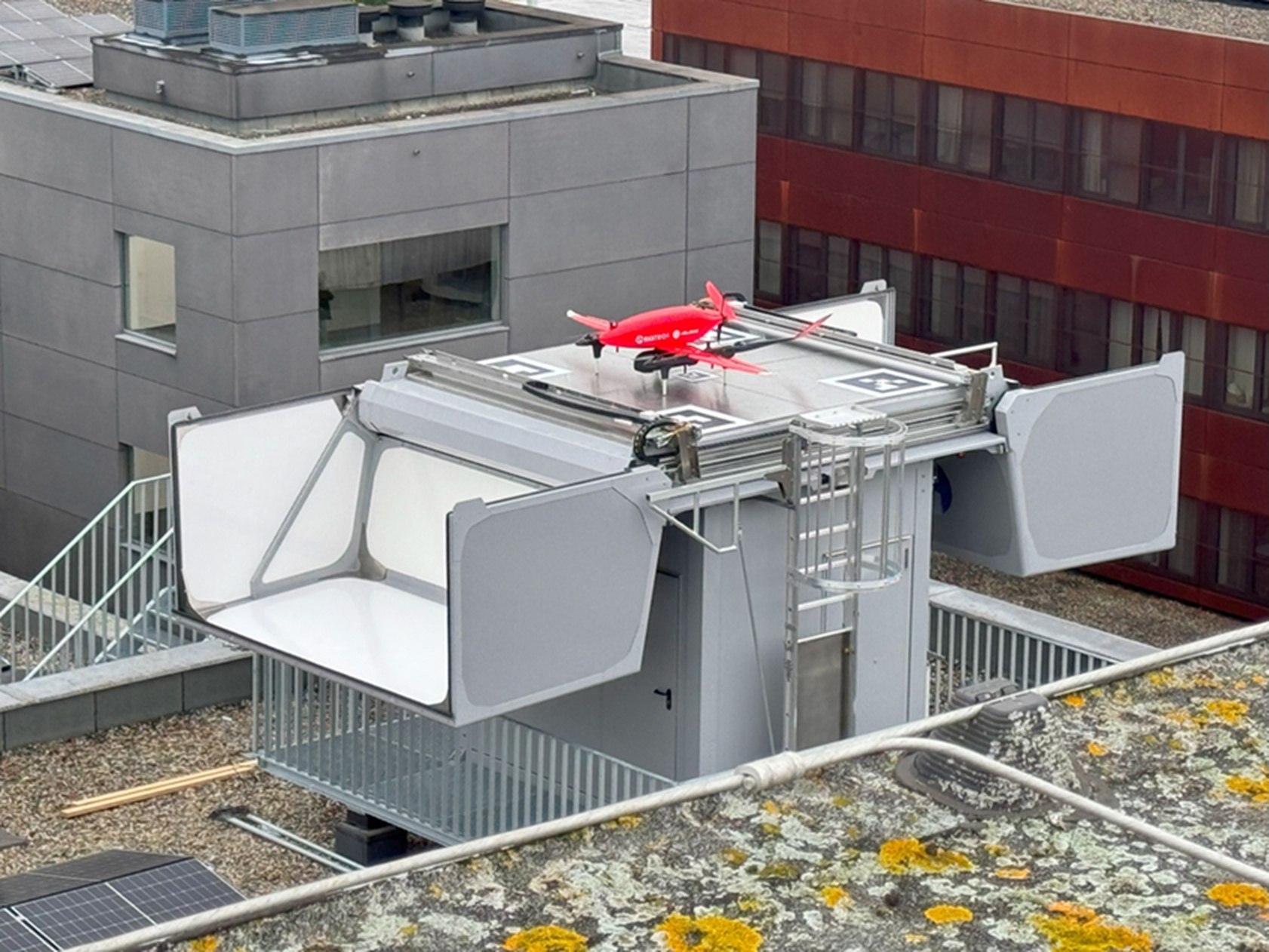
During this EUSPA demonstration, two drone operators - Helicus in Belgium and Innov'ATM in France - integrated the Joint Research Centre's (JRC) Copernicus GHSL population density layer into their flight planning software. They used it to prepare a BVLOS drone delivery mission, select emergency landing sites, and conduct ground risk assessments in their SORA, in consultation with the Belgian and French civil aviation authorities. Key outcomes included a 20 km medical drone delivery by Helicus in Belgium and official acceptance of Copernicus GHSL as a valid population density source for SORA in Belgium.
“At Helicus, we are proud to contribute to the advancement of safe and scalable drone operations across Europe. The integration of Copernicus GHSL data into our mission planning tools has been instrumental in providing a standardised, predictable and Belgian Civil Aviation Authority accepted methodology for our ground risk assessments. This project demonstrated not only the technical feasibility but also the operational acceptance of satellite-based static population density data in real-world BVLOS medical delivery flights. Thanks to the collaboration with EUSPA, JRC, and the Belgian Civil Aviation Authority, we were able to prepare, authorise, and execute a 20 km BVLOS medical transport mission using the SORA methodology supported by Copernicus. This marks a major step toward data-driven, harmonised UAS operations and aligns with our mission to deliver robust, compliant and innovative life-saving logistics by drone,“ adds Geert Vanhandenhove, Helicus Operations manager.
EUSPA, in collaboration with the JRC, promotes the use of Copernicus data for ground risk assessment among drone operators and aviation authorities. It participates in the JARUS Safety and Risk Management group, contributing to SORA 2.5, and is part of EASA’s Static Population Density working group, developing guidelines for UAS ground risk assessment. EASA is also creating the Innovative Air Mobility Hub, which will provide a Europe-wide ground risk mapping tool, where Copernicus data from JRC’s GHSL and LUISA Base Map will be key inputs.
“The newly proposed static population density maps, specifically designed for calculating the ground risk of drone operations, will be a crucial component in fostering a safe European drone market. This initiative optimises the use of resources by integrating outcomes from various EU-funded projects. It will serve as an essential tool for simplifying the authorisation process for drone operations and ensuring a harmonised implementation of drone regulations,” adds Natale Di Rubbo, Drones Project Manager in EASA.
“Collaboration within this project has been outstanding not only with drone operators but also with national civil aviation authorities, and we are delighted to contribute - together with JRC, JARUS, and EASA - to the development of a comprehensive tool for assessing ground risks in drone operations, “ concludes EUSPA Space Downstream Market Officer Katerina Pena.
Media note: This feature can be republished without charge provided the European Union Agency for the Space Programme (EUSPA) is acknowledged as the source at the top or the bottom of the story. You must request permission before you use any of the photographs on the site. If you republish, we would be grateful if you could link back to the EUSPA website.