
From satellite to soil: space innovation for smarter farming
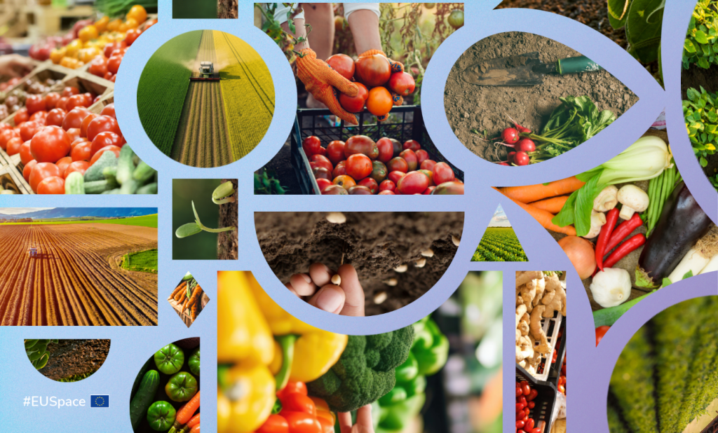
Innovation in agriculture is coming from above. Satellite observations can show how crops and land use are changing, while precise positioning enables more targeted farming operations.
Farmers across Europe face a familiar challenge: producing enough food while using land, water and other inputs more efficiently and in line with environmental requirements. To do both, they need accurate information about what is happening in their fields and machinery that can act on it with equal precision.
Earth observation (EO) and satellite navigation systems work side by side in agriculture. Copernicus Sentinel satellites provide regularly updated open data on crops, vegetation, soil and land use, while products from the Copernicus Land Monitoring Service can support agricultural and environmental monitoring. Galileo and EGNOS, standalone or with correction services, provides the precise positioning needed to guide machinery, track assets and apply inputs more selectively.
Rising demand for food, constraints on land and water, higher input costs and labour shortages are all accelerating the uptake of EO-enabled services supported by EUSPA. Revenues from services generated based on the free EO Copernicus data across agricultural applications are expected to rise from almost €720 million in 2024 to over €1.9 billion in 2034, according to the EU Space Market Report 2026.
Compliance made simpler
EO is also reshaping how farmers meet environmental rules. Under the 2023-2027 reform of the Common Agricultural Policy (CAP), eco-schemes reward farmers who adopt environmentally friendly practices that go beyond basic legal requirements, such as maintaining permanent grassland or reducing fertiliser use.
Verifying that these commitments are met across millions of parcels is not feasible through manual inspection alone. Increasingly, paying agencies rely on area monitoring systems, which use Copernicus satellite imagery to track farming activity automatically and in near real time, alongside information from the EU’s digital land parcel database. This technology is likely to play a growing role in verifying compliance, as the CAP simplification package, proposed in 2025, aims to reduce bureaucracy and on-farm inspections.
Precision on the ground
The same technologies can help farmers use fewer resources while maintaining or improving productivity. Copernicus observations can show variations in crop and field conditions, while precise Global Navigation Satellite System (GNSS) positioning guides machinery to the right place. This enables variable-rate application, so fertilisers and pesticides can be applied at the right time, quantity and in the right locations, rather than uniformly across a field. This approach can reduce chemical use, costs and waste while supporting yields.
The Galileo High Accuracy Service (HAS) takes this precision further, providing horizontal accuracy down to 20 centimetres with a lane-to-lane precision of only a few centimetres HAS can support precise guidance for planting, spraying and harvesting. Its corrections are free of charge and can be received directly from Galileo satellites, making high-accuracy positioning more accessible, including in areas with limited internet connectivity.
From orbit to field, Copernicus helps farmers see where conditions vary, while Galileo helps them act precisely where it matters. Together, they can support more efficient use of water, fertilisers, pesticides and fuel, strengthening farmers’ ability to respond to changing conditions.
Media note: This feature can be republished without charge provided the European Union Agency for the Space Programme (EUSPA) is acknowledged as the source at the top or the bottom of the story. You must request permission before you use any of the photographs on the site. If you republish, we would be grateful if you could link back to the EUSPA website.