Spotlight on EGNOS
If the EU Space Programme had an origin story, it would be called EGNOS.
That’s because EU Space was officially born with the declaration of the EGNOS Open Service.
EGNOS, which stands for the European Geostationary Navigation Overlay Service, is Europe’s regional Satellite-based Augmentation System (SBAS), which are used to augment GNSS signals so that they can be used for Safety-of-Life applications.
Today, the free and publicly available EGNOS Open Service improves the accuracy of GPS. In fact, continuous monitoring of the EGNOS open signal has shown that it improves the accuracy of GPS to within 1 – 2 metres and is available 99% of the time. By comparison, someone using a GPS receiver that is not EGNOS-enabled will typically get position errors around 5 metres in open sky conditions.
For Safety-of-Life applications, EGNOS ensures integrity of the navigation: it provides all its users with a warrantee about its positioning accuracy, with an error probability lower than one out of 10 million, and provides alert messages within less than 6 seconds when positioning error exceeds an acceptable level.
EGNOS & aviation, a match made in space
It is this remarkable level of integrity that makes EGNOS, and specifically its Safety of Life (SoL) Service, so attractive to the aviation sector.
EGNOS-enabled approaches utilise geostationary satellites and a network of ground stations to receive, analyse and augment GNSS signals. In doing so, it enables aircraft approaches that are operationally equivalent to ILS CAT I, providing lateral and vertical guidance without the need for visual contact with the ground until a decision height of only 200 feet above the runway as a minimum.
In addition to providing pilots with accurate guidance for safer landings, even in poor weather conditions, these EGNOS-based approaches are more cost-effective to install, maintain and operate than equivalent ground-based systems. This makes EGNOS particularly attractive to Europe’s small and regional airports that simply cannot afford the high cost of ILS.
EGNOS expands into other sectors with new services
Although the EGNOS SoL service was designed for civil aviation, EUSPA has since expanded it to such sectors as maritime, rail and road, amongst others. Most recently, it introduced the EGNOS Safety of Life Assisted Service for Maritime Users (ESMAS).
Designed to complement ground-based augmented signals, ESMAS adds another layer of protection against errors while also increasing the accuracy and ensuring the integrity of the GNSS signal.
Because the service does not require any additional infrastructure, it is well-positioned to support navigation in ocean and coastal waters, including harbour approaches and entrances. All that is needed to utilise it is an SBAS-enabled GNSS receiver. With such a receiver onboard, the vessel can receive EGNOS-related Maritime Safety Information (MSI) – the navigational warnings and other urgent safety related messages that are broadcast to ships.
Although the service targets merchant vessels, the ESMAS signal is available free of charge to all SOLAS-conforming vessels operating within EU Member States, along with Iceland, Norway and Switzerland.
Paving the way towards EGNOS Version 3
In addition to developing new EGNOS services, EUSPA continues to expand the programme’s coverage area. This is possible because EGNOS is designed so its services can be extended to other areas within the broadcast area of the geostationary satellites. Such extensions can be made by building additional monitoring stations without interrupting the EGNOS signal. Recently, EUSPA released a new system that upgrades EGNOS and extended both its service area and availability, including to the far reaches of northern Europe.
While the latest system upgrade helps improve the resilience of EGNOS Version 2, it also paves the way towards the launch of EGNOS Version 3.
EGNOS V3, which is currently under development by the industry, will strengthen both GPS and Galileo signals, resulting in an even better user experience. Furthermore, by augmenting Galileo signals, V3 will introduce new services, offer enhanced security protection against cyberattacks, and improve the accuracy and reliability of the positioning, navigation and timing information.
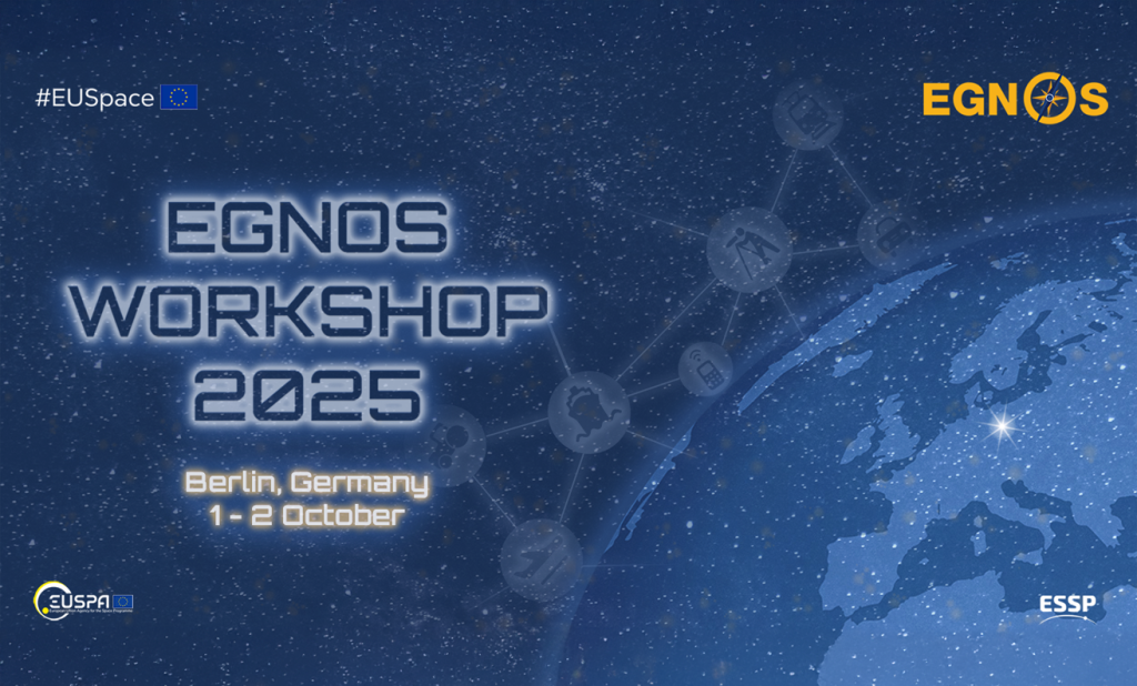
Live stream the EGNOS Workshop to learn more!
Want to learn more about EGNOS’ services and evolution? Then be sure to join us on 1 – 2 October for the annual EGNOS Workshop.
The two-day event will kick off with a programme update, followed by a deep dive into ESMAS, an overview of EGNOS’ use with multimodal applications, and a look at the evolution of the EGNOS services portfolio. Day two is all about aviation and will feature several EGNOS implementation success stories.
Although registration for the in-person event in Berlin is closed, we will be streaming the event live and for free. You don't need to register, just log in with your EGNOS User Support account on the day of the event to watch the presentations in real time.
If you don't have an account yet, sign up.
Media note: This feature can be republished without charge provided the European Union Agency for the Space Programme (EUSPA) is acknowledged as the source at the top or the bottom of the story. You must request permission before you use any of the photographs on the site. If you republish, we would be grateful if you could link back to the EUSPA website.