The world’s most advanced EO system set to become even stronger
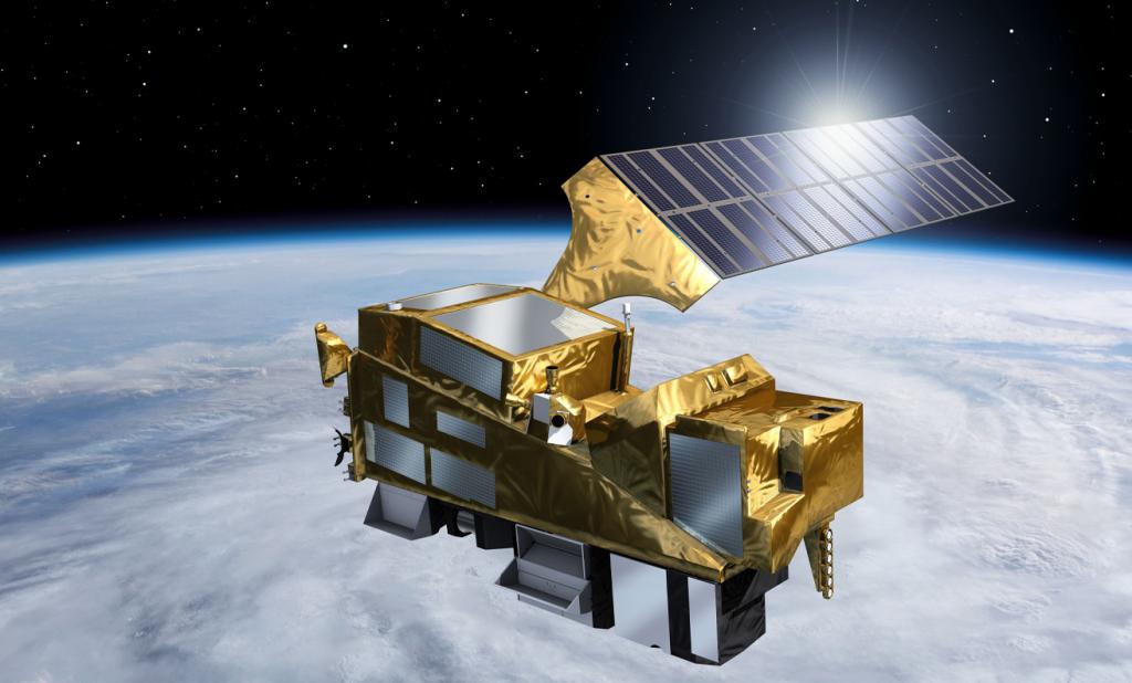
With the Copernicus Sentinel-5A instrument launch on August 13, this Month is shaping up to be an exciting one for the EU Space Programme. An evolution of the Sentinel-5Precursor currently orbiting Earth, the addition of Sentinel 5A marks an important advancement in Europe’s capacity to track air pollution and atmospheric composition on a global scale.
According to the Copernicus Observer article, “By improving the Copernicus system’s ability to deliver daily global data on air pollutants and other atmospheric trace gases, Sentinel-5A will significantly strengthen what is already considered the world’s most advanced Earth Observation system for air quality and emission monitoring.”
Sentinel‑5A data will feed into the services offered by the Copernicus Atmosphere Monitoring Service (CAMS), enabling more precise, frequent and timely insights into greenhouse gases, atmospheric pollutants and environmental health in Europe and globally. Such enhanced data will benefit numerous applications, including the Copernicus Demonstrator for Insurance and Finance.
Turning atmospheric data into ESG action
With a focus on increasing the use of EO data across all market segments, the Copernicus Demonstrators see EUSPA working with private sector stakeholders to showcase the value of incorporating Copernicus data into real-life applications.
The Insurance and Finance Demonstrator’s ESG Zoning Tool uses Sentinel 5 data on air pollution provided by CAMS. The financial sector can use this information to better assess the climate risks and environmental impact of their assets and to meet their ESG reporting requirements.
Developed in close partnership with Komerční banka, Raiffeisen Bank, Moneta Money Bank and Československá obchodní banka, the tool offers both a zoning view for aggregated property data as well as an indicator view that shows native resolution satellite data. This dual visualisation capability enables very detailed environmental impact and climate risk assessments – a capability that will become even more detailed with the addition of Sentinel-5A data.
Although the ESG Zoning Tool currently only covers areas of the Czech Republic, its geographic reach can be expanded.
Redefining kilometre-scale climate models
The high-resolution global measurements of atmospheric composition that the Sentinel-5A instrument is expected to provide will also redefine kilometre-scale climate models. Kilometre-scale climate models are a new class of regional and global Earth system models that simulate the dynamics of extreme weather and their driving factors with a horizontal scale of less than 10km.
“By collecting more detailed data about atmospheric composition, the Sentinel-5A mission can help us build foundation models that have a better representation of trace gases, aerosols and cloud properties,” explains Fiammetta Diani, Head of EUSPA’s Market Downstream and Innovation.
The challenge is that the vast amounts of data coming from both Sentinel-5A and km-scale climate models makes it impossible to directly compare the raw data.
This is where Embed2Scale comes into play.
The EUSPA-funded project is developing embedding models that will help incorporate Sentinel-5A data into the km-scale climate model calibration process.
The calibration process involves systematically adjusting uncertain parameters within the model to improve its ability to reproduce observed climate data, reduce errors and enhance the model's accuracy. Embeddings are mathematical representations of data in a continuous, multi-dimensional vector space. They essentially transform complex information like geospatial data into a streamlined format that computers can readily process.
The project is using state-of-the-art AI compressors trained on High-Performance Computing (HPC) systems to distil valuable and reusable embeddings from vast quantities of raw data and significantly reduce the computational demands of utilising Copernicus data.
“Dedicated to addressing the critical challenges posed by the sheer volume of geospatial data, we aim to deliver transformative solutions for near-real-time EO services and contribute to a sustainable and accessible digital Earth Observation ecosystem,” concludes Diani.
Want to learn how EUSPA can support your EO project? Contact us to learn more!
Media note: This feature can be republished without charge provided the European Union Agency for the Space Programme (EUSPA) is acknowledged as the source at the top or the bottom of the story. You must request permission before you use any of the photographs on the site. If you republish, we would be grateful if you could link back to the EUSPA website.