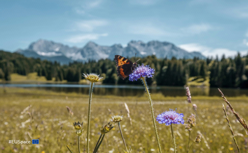
Space-based technologies can reveal where habitats connect and how animals move through them. Combining Copernicus Earth observation with GNSS tracking can help protect corridors and support biodiversity conservation.
From 30 September to 1 October 2026, the CASSINI Entrepreneurship Days united Europe’s space community to foster partnerships, explore EU funding and celebrate the 2026 CASSINI Challenges winners.
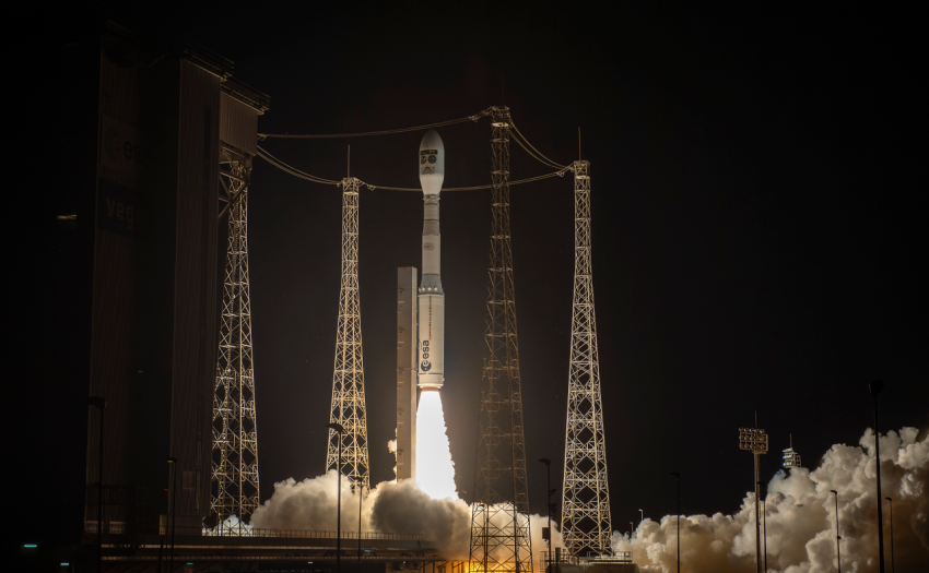
Sentinel-3C is now in orbit, set to support ocean monitoring and wildfire response while strengthening continuity of vital Earth observation data for users across Europe.
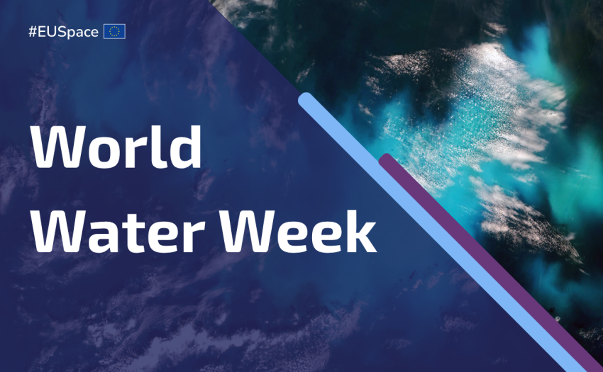
This World Water Week, discover how the EU Space Programme helps monitor water quality, track climate impacts and detect pollution, helping protect one of Earth’s most precious resources.
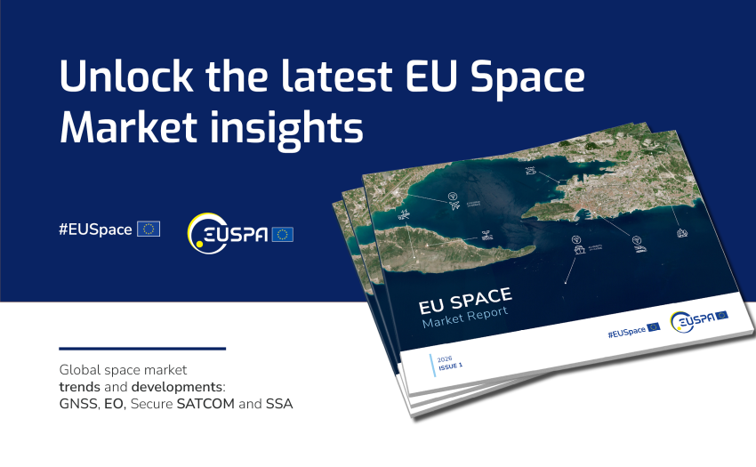
The report reflects how global space downstream sector has expanded beyond Earth Observation and Global Navigation Satellite System to include emerging areas like Secure Satellite Communication and Space Situational Awareness.
GANNI and EUSPA join forces in a pilot project leveraging Copernicus Earth observation data to monitor ecological changes and identify drivers of biodiversity loss linked to garment production in Portugal and Italy.
Using the Galileo High Accuracy Service (HAS), ecologist Charles Lehnen achieves unprecedented precision in ecological monitoring on Santa Fe Island, enhancing conservation strategies and the understanding of the reintroduced Española Island tortoise ecosystem dynamics.
While the archaeology of the movies tends to focus on the fedoras, whips and last crusades, actual archaeologists depend on space technologies like GNSS and Earth Observation.