Safer Mining from Space: Eramet Leverages Satellite Data

Strengthening Operational Safety with Earth Observation
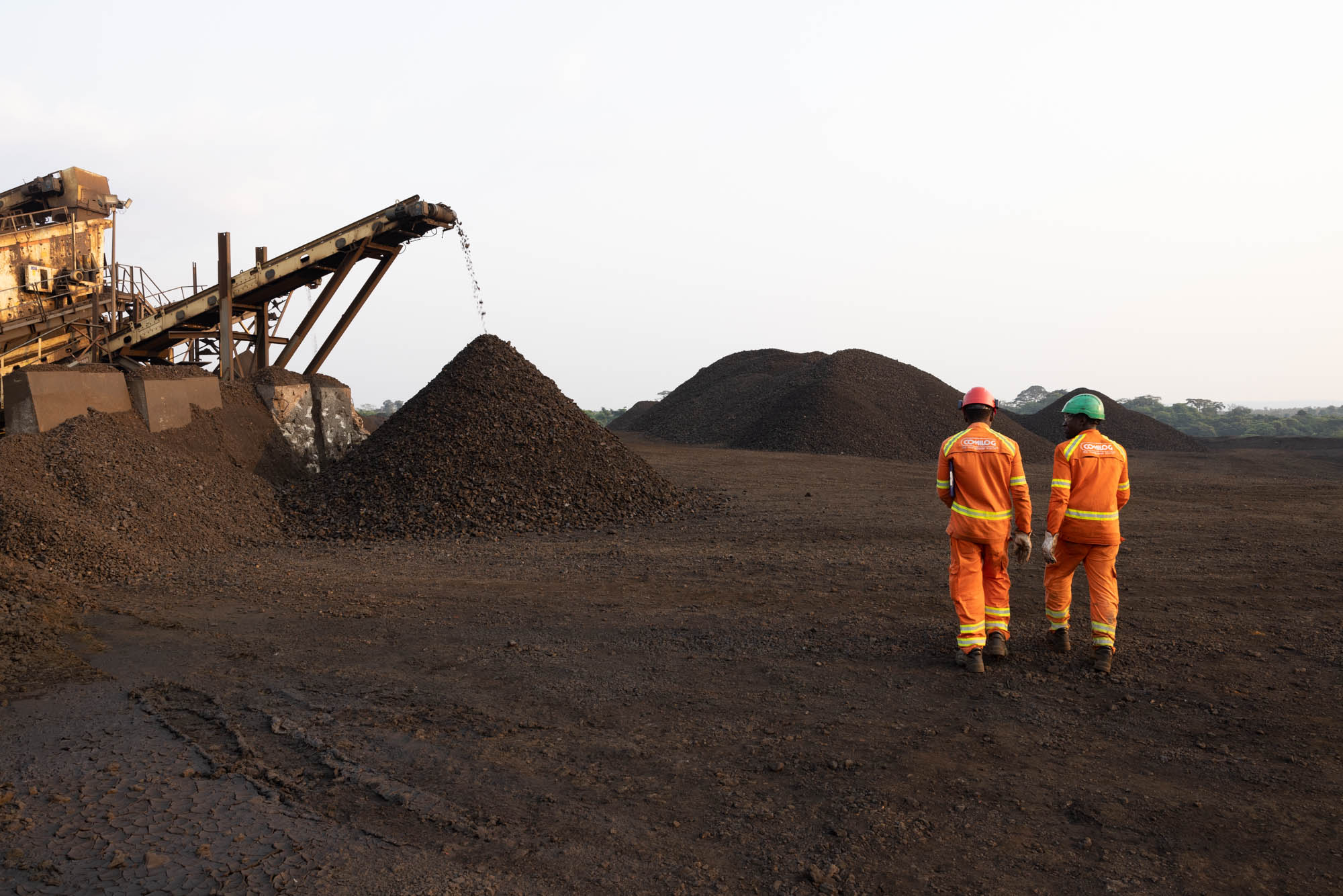
Eramet, the world’s largest producer of high-grade manganese ore, plays a key role in supplying critical metals needed for electrification and green energy. With mining operations spanning remote and challenging environments ensuring ground stability is essential. Even minor, gradual shifts can signal emerging risks such as landslides or infrastructure failure. Traditional subsidence monitoring relies on ground sensors and field inspections which, while essential, provide only limited spatial coverage and an incomplete view of how conditions evolve over time.
As part of an EUSPA-supported Pilot project, Eramet partnered with Italian remote-sensing company Tre Altamira to test a space-based solution for subsidence monitoring. By applying Copernicus Sentinel-1 radar data and advanced InSAR (Interferometric Synthetic Aperture Radar) techniques, the team was able to monitor the entire mining area—including surrounding zones—and detect millimetre-level ground movements, providing early warning signals that would be difficult to capture with localised sensors or field inspections alone.
Commercial Benefits
The Pilot project showed transformative potential of satellite data for mining operations, providing Eramet with an actionable and scalable method for monitoring ground stability over large areas. The Sentinel-1-enabled analysis identified subtle movement patterns linked to erosion, stockpile settlement, and decantation pond consolidation. Meanwhile, monitoring around tailings dams revealed no significant deformation—providing reassurance that critical infrastructure remains stable.
All results were delivered through an easy-to-use online platform, enabling Eramet team to visualise ground behaviour over time, flag areas requiring closer inspection, and support informed decision-making for safety planning.
This brings measurable operational gains: faster detection of potential risk zones, improved ability to prioritise on-ground inspections, fewer site visits where terrain is difficult to access.
Why It Matters
Mining sites evolve continuously, and even small changes can escalate into safety hazards if they go unnoticed. Satellite-enabled ground motion monitoring allows mining companies to track these shifts across an entire site, significantly reducing risk. It is especially valuable in locations where continuous on-the-ground surveying is impractical and where field access is limited.
“Excited by the success of this proof of concept with EUSPA, we have demonstrated how we can use InSAR in our future operations to increase mining safety – it gave us confidence to broaden its application at Eramet.” said Christophe Bessin, Data Scientist at Eramet.
By leveraging Copernicus Sentinel-1 data, Eramet is showcasing how Earth Observation can enhance mining oversight—improving safety and supporting long-term infrastructure resilience.
Media note: This feature can be republished without charge provided the European Union Agency for the Space Programme (EUSPA) is acknowledged as the source at the top or the bottom of the story. You must request permission before you use any of the photographs on the site. If you republish, we would be grateful if you could link back to the EUSPA website.