
EU Space in public transport
-
EU Space is revolutionising public transport

-
GNSS and public transport

-
Synergies of GNSS and EO

-
EUSPA’s role

-
Facts and figures

EU Space is revolutionising public transport
Enabling real-time, high-precision tracking for buses, trains and trams, EU Space helps deliver a wide array of benefits to public transportation operators and users:
- Real-time passenger info: accurate positioning provides commuters with reliable, live updates, enhancing the travel experience.
- Improved efficiency and reliability: Galileo and EGNOS enable a better, more optimised and punctual service, particularly for trams and buses.
- Safety and maintenance: precise positioning helps optimise the usage of transport infrastructure, while GNSS and EO data support the maintenance of tracks and vehicles.
- Smart mobility: EU Space data supports the development of connected, automated, and autonomous vehicles and traffic management systems that can help reduce urban congestion.
- Sustainability: by optimising routes and supporting electric/hybrid fleets, EU Space helps reduce emissions and contributes to greener urban mobility.
GNSS and public transport
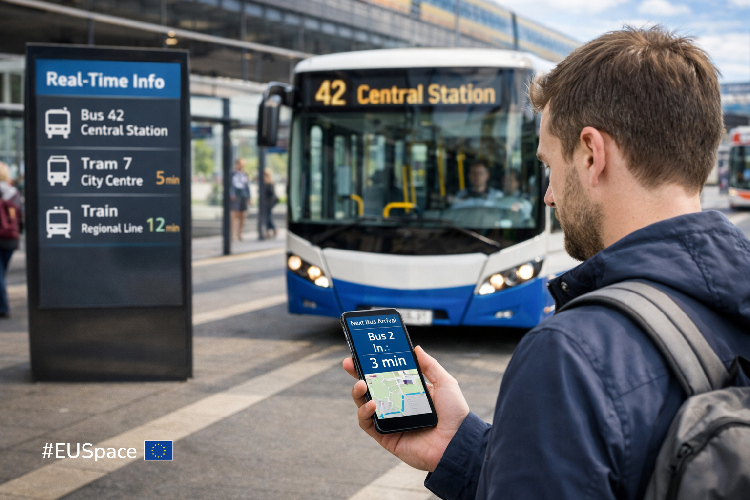
Galileo and EGNOS can be integrated into buses, trains and trams to enable the real-time tracking and precision navigation required to ensure smoother connections between different modes of transport.
These same solutions can be used to provide passengers with real-time updates, minimising waiting times and ensuring smoother transitions between connecting services. This is especially for demand- responsive transport solutions, whereas a better positioning accuracy can greatly improve the service.
Synergies of GNSS and EO
Public transport can also leverage the synergies of GNSS and EO to foster knowledge sharing and decision-making. For example, by pulling data from both Galileo and Copernicus, public transport operators and planners can better assess and prioritise transport-related projects, ensuring that investments are aligned with the long-term goals of interconnectivity, efficiency and sustainability.
EUSPA’s role
EUSPA actively supports the uptake of EU Space data and services by interacting with the entire public transport value chain, including local public transport authorities, technological service providers and associations. The agency also supports the development and market uptake of applications using Galileo, EGNOS and Copernicus for smart mobility and public transport.
Facts and figures
EU Space helps make public transportation systems across Europe more efficient:

The addition of multi-frequency GNSS receivers means Prague’s trams now benefit from more precise localisation and optimised journeys.
A bike sharing programme in Barcelona equipped its electric bikes with Galileo-enabled GNSS receivers to help cyclists navigate their way from docking station to destination and to ensure that the bikes are evenly distributed and readily available in high-use areas.

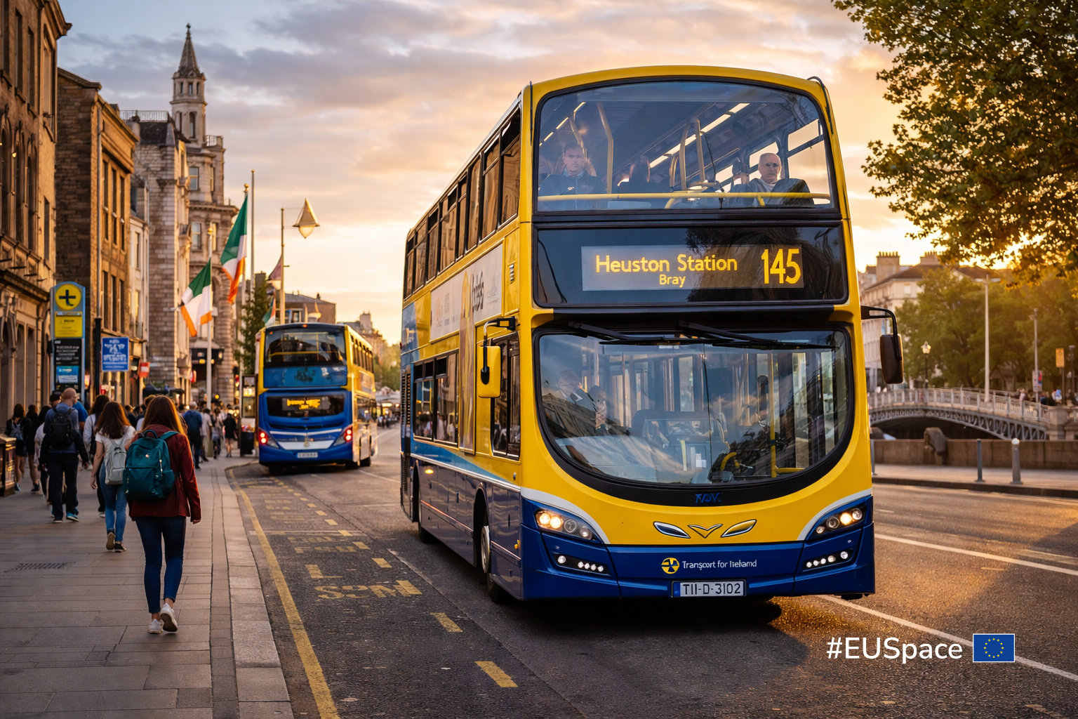
In Ireland, over 2300 buses use Galileo to bring a more consistent service across all operators, as well as dynamic, real-time information to passengers.