News archive

Filters

Industry sectors
  • Image
    Date

    Speaking at a dedicated session entitled ‘Applications: Earth Sciences and Geo-Information’, part of EUREF’s annual symposium, representatives of the mapping and surveying sector discussed the various synergies between GNSS and Earth Observation and their use for providing real-time information about the state of the Earth’s troposphere.

  • Image
    Date

    The main objective of the Horizon 2020-funded MOBNET project is to locate victims during natural disasters and emergency situations such as earthquakes, hurricanes or large snowstorms using EGNSS (both Galileo and EGNOS) and DCT (Digital Cellular Technologies). Its system assumptions were presented at TRANSCOM 2017 in Slovakia at the start of June.

  • Image
    Date

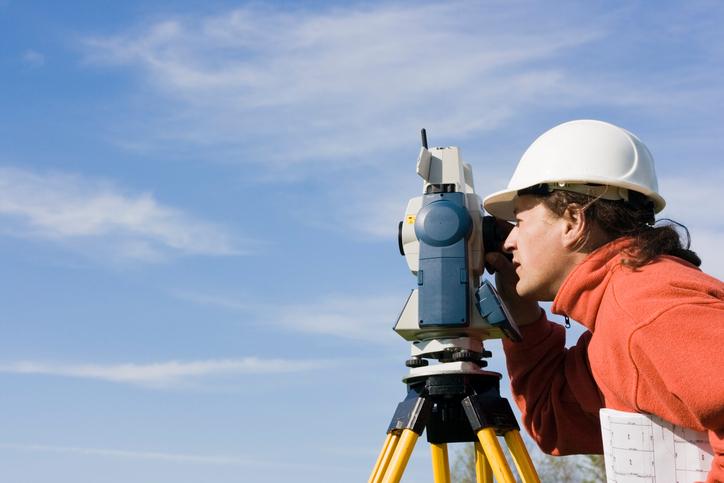
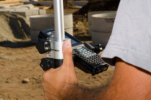
    The GSA discussed the many benefits that European GNSS, and in particular Galileo, bring to the mapping and surveying sector during the EUREF 2017 Symposium in Wroclaw, Poland.

  • Image
    Date

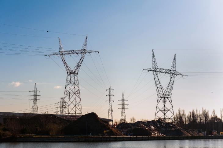
    Precise timing and synchronization (T&S) is crucial for many applications. It plays a vital role in the protection of critical infrastructure, ranging from energy to telecommunications. Galileo provides a unique service to the T&S user community by delivering a free, stable and very accurate time-and-frequency source that is available worldwide.

  • Image
    Date

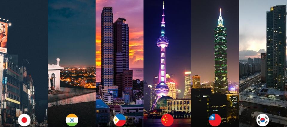
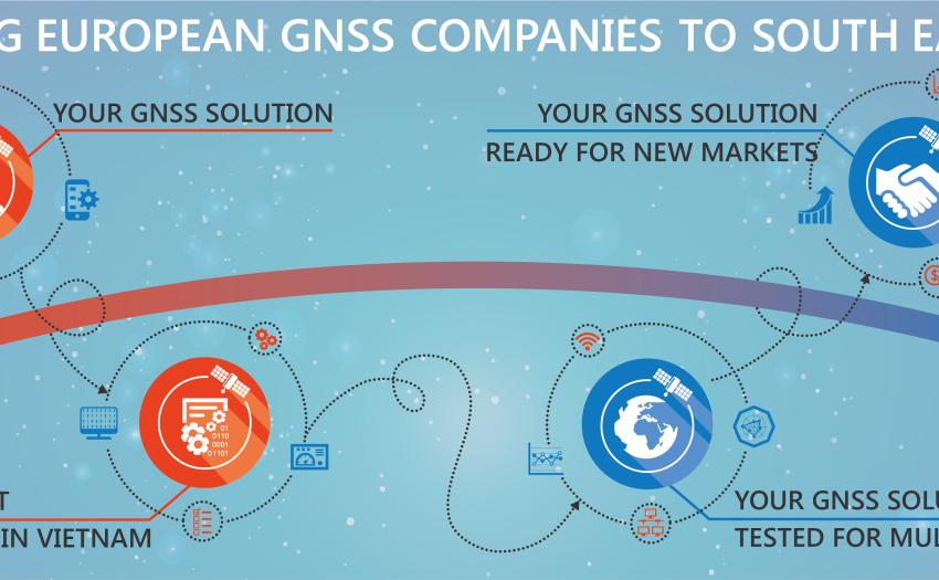
    As home to over 600 million inhabitants, many technically skilled experts in the area of satellite technology, and a fast-growing economy, South East Asia is a hotspot for global business – and GNSS is no exception. In fact, thanks to its unique geographic position, where it is able to receive all GNSS signals (and even some EGNOS signals), South East Asia is developing into a regional ‘GNSS Valley’.
  • Image
    Date

    The European Global Navigation Satellite Systems Agency (GSA) presented two exciting Galileo ‘search and rescue’ (SAR) projects - GRICAS and HELIOS - at the Paris International Air Show in June.