News

rss

Filters

Industry sectors
  • Image
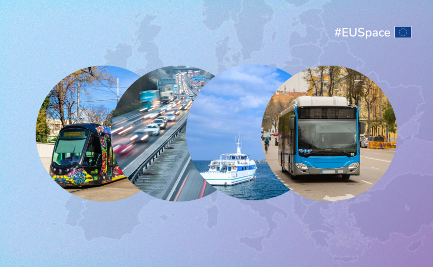
    A collage of four circular images showing a tram, highway traffic, boat, and bus, representing EU transportation with #EUSpace and a map of Europe in the background.
    Date

    European GNSS and Copernicus Earth Observation data not only play a key role in individual modes of mobility, they are also essential to creating a truly intermodal transport system.

  • Image
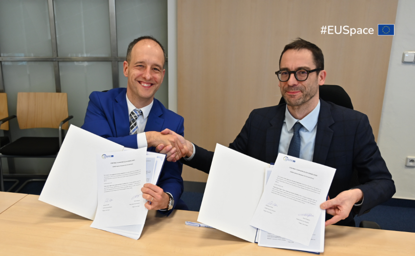
    EUSPA signature with TAS
    Date

    EUSPA signed with Thales Alenia Space a contract named LIFEX 1 (Life Extension Phase 1), to ensure that EGNOS V2 continues to provide reliable, secure, and high-performance navigation services for Europe’s aviation, maritime, land transport, mapping and agricultural sectors beyond 2028.


  • Image
    Sentinel-1C satellite views
    Date

    The Sentinel-1C satellite, to be launched on December 4, 2024, will ensure continuous data provision and integrates Galileo for improved navigation, reinforcing the world's leading Earth Observation system.

  • Image
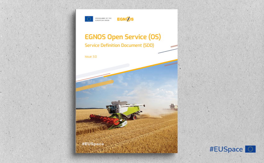
    Cover of the EGNOS Open Service Service Definition Document
    Date

    The 15th anniversary of the EGNOS Open Service (OS) highlights Europe’s leadership in developing a robust satellite navigation system that has become a global reference for other Satellite-Based Augmentation Systems (SBAS).

  • Image
    A cargo ship crossing the sea.
    Date

    This World Maritime Day, EUSPA reminds you that safe sailing starts with the EU Space Programme.

  • Image
    cargo ship on the sea at sunset
    Date

    The EGNOS Safety of Life Assisted Service for Maritime users (ESMAS) can be now fully exploited by users with type-approved equipment developed according to the recently published IEC-61108-7 Satellite Based Augmentation System (SBAS) Standard for Shipborne Receivers.