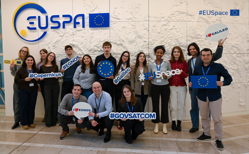
The European GNSS Agency is working together with rail and space industry stakeholders to enable the use of satellite-based positioning for railway signalling, in order to achieve cost and efficiency benefits, such as the reduction of infrastructure elements needed for train control systems.
At the heart of this multi-stakeholder initiative lies the European Train Control System (ETCS), which is now being adopted both in Europe and beyond, as one of the components of the European Rail Traffic Management System (ERTMS). At present, in ETCS the positioning of the train is based on “balise”, a physical element mounted at specific intervals along the railway track. The goal is to ensure that wherever possible, the physical balises can be replaced by virtual ones, based on precise, GNSS-based positioning without any operational or safety implications on the ETCS. The roadmap below summarises the main projects currently running and planned, as well as the involvement of the various stakeholders interested to achieve the objective of E-GNSS enabled ETCS together with the GSA.
Media note: This feature can be republished without charge provided the European GNSS Agency (GSA) is acknowledged as the source at the top or the bottom of the story. You must request permission before you use any of the photographs on the site. If you republish, we would be grateful if you could link back to the GSA website (http://www.gsa.europa.eu).