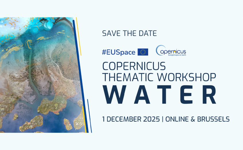
The Copernicus Thematic Workshop on Water will explore how Earth Observation supports sustainable water management, fostering dialogue among users, policymakers, and industry to shape future Copernicus services.
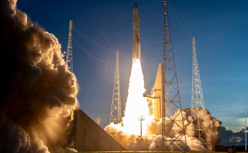
The EU Space Programme continues to advance, with the successful launch of Sentinel-1D, the upcoming Galileo Launch 14, and several additional missions planned for 2026, marking another strong step forward for Europe’s leadership in space and innovation.
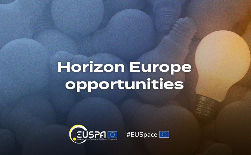
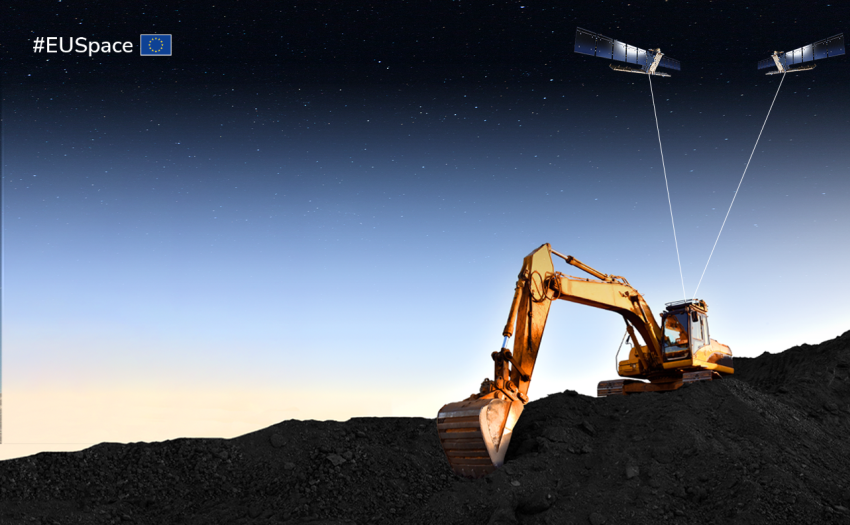
With an overall budget of EUR 15 million, EUSPA’s fourth Horizon Europe call looks to support the development and uptake of space-based applications that can boost the space data economy or reinforce European resiliency.
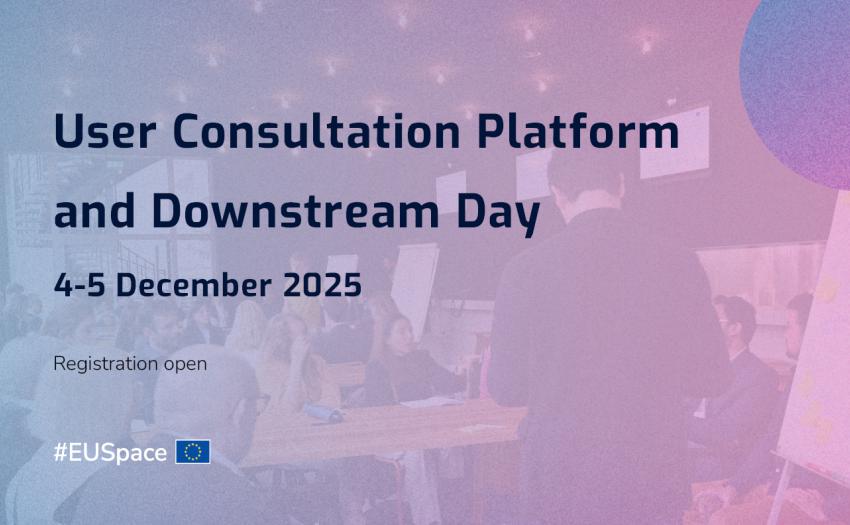
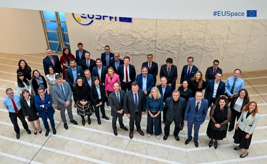
The UCP brings together stakeholders from across the space ecosystem to exchange views, identify user needs and shape the evolution of EU Space services and downstream opportunities.
Rodrigo da Costa’s mandate as EUSPA Executive Director extension is reaffirming his leadership in strengthening the European Union’s secure, innovative, and resilient EU Space Programme.
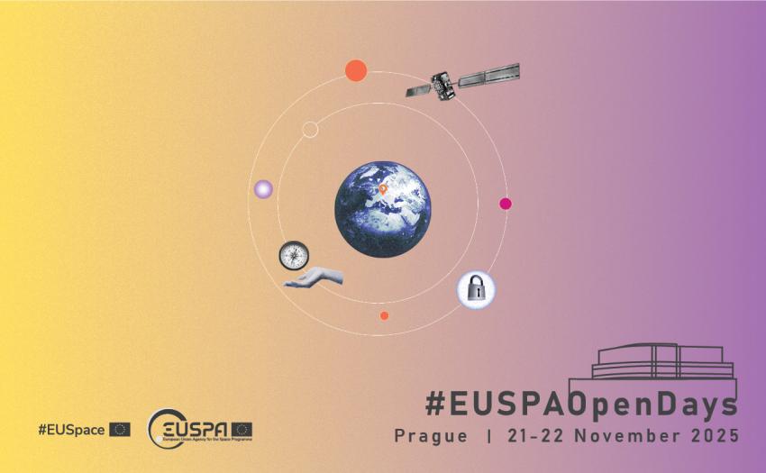
Informative sessions, immersive experiences and fun activities for school groups and the entire family, it’s all happening on 21 – 22 November at EUSPA Open Days!