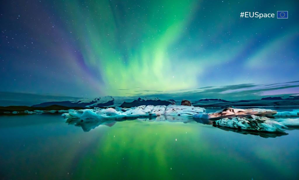
EU Space in action: the Arctic edition

The Arctic isn’t just a hot topic in the news – it’s actually getting physically warmer.
According to the latest edition of the European State of the Climate Report (ESOTC), the annual average temperature for the Arctic was 1.11.°C above average, making 2024 the third warmest year on record. It also means the Arctic is warming significantly faster than the global average, with changes in the region having a direct impact on global climate and weather patterns.
Published by the Copernicus Climate Change Service (C3S), the ESOTC’s findings are based largely on an analysis of the data and services provided by the Copernicus Earth Observation programme. For instance, the Copernicus Arctic Hub , managed by Mercator Ocean International, provides single access point to data and information in the Arctic, offering a wide range of ocean and land Copernicus datasets and ensuring regular training.
As a key enabler of Arctic research and of the EU’s new Arctic policy, EU Space is on the frontlines of protecting this critical ecosystem. “Through an integrated EU Space Programme and by working closely with stakeholders who are active in the Arctic, we are better positioned to understand the challenges, find solutions and implement change,” says EUSPA Executive Director Rodrigo da Costa.
From space to Svalbard
One of those stakeholders is the Svalbard Integrated Arctic Earth Observing System (SIOS). The international research infrastructure is committed to developing a sustainable Earth Observation system in Svalbard, a place that, according to the ESOTC, just experienced its warmest summer on record.
“By pooling facilities and technologies, we aim to both strengthen interdisciplinary research collaboration and decrease research’s environmental footprint,” explains Christiane Hübner, information officer at the SIOS Knowledge Centre.
Amongst those shared resources is remote sensing data (e.g., sea-ice monitoring, ice thickness, ocean surface roughness) collected by Copernicus Sentinel-1 satellites. “These satellites provide a near-real-time, all-weather, day and night imaging capability, which is vital in Svalbard where it is often cloudy and dark for many months of the Polar winter,” adds Hübner.
Remote sensing also allows those researchers conducting fieldwork to extend their studies spatially (up to the scale of the entire archipelago) and temporally (e.g., through winter or back in time with archive data).
All this data is reusable and shareable and is made available to member institutions, who can use it to study various aspects of Earth system sciences on the archipelago. “There are so many uses for remote sensing – glacier volume change from altimetry; snow cover from optical imagery; snow wetness, avalanche occurrence, sea ice parameters from SAR (Synthetic Aperture Radar); vegetation mapping; ground motion of permafrost from interferometric SAR – to name just a few of its uses,” says SIOS Remote Sensing Officer Ashley Morris.
In addition to providing shared research infrastructure and Earth Observation data, SIOS offers seed money for interdisciplinary activities that strengthen the observing system, along with workshops, webinars, and training courses. It also publishes the State of Environmental Science in Svalbard, an annual report that includes recommendations for the future development of Arctic research infrastructure.
Improved iceberg detection and forecasts
As the Arctic warms, ocean ice tends to melt, which can open new routes for transporting goods and for connecting remote Arctic communities. But as ship traffic increases, so too does the risk that these ships will collide with sea ice or an iceberg far from any assistance. “Mitigating this risk requires improved iceberg detection and forecasts for safe transit and better route guidance on time scales ranging from hours to several months,” says Laurent Bertino, research leader at the Nansen Environmental and Remote Sensing Centre (NERSC) in Norway.
This is where the ACCIBERG project comes in.
Coordinated by NERSC, the EU-funded project aims to improve the forecasts of sea ice and ocean parameters and their uncertainties in both the Copernicus Marine and Climate Change services, extending the coverage of the satellite detection of icebergs and developing a new iceberg forecast service.
To do so, researchers are leveraging images from Sentinel-1 satellites, together with ground observations, to develop new remote sensing solutions for detecting icebergs. They are also assimilating Copernicus data about sea ice and improving forecasts of sea ice, ocean currents and winds, and then using these as a key input for forecasting icebergs.
Furthermore, the project is validating the seasonal sea ice forecasts from the Copernicus Climate Change Service using satellite products and cross-checking the automated iceberg detection with Sentinel-2 and Copernicus contributing missions.
“Our partner at the Danish Met Institute has already extended our ability to automatically detect icebergs from the Greenland Sea to the whole of the Arctic,” explains Bertino. “We’ve also developed an innovative open-source model for forecasting icebergs drifting further than 20km away from the coast.”
The project has delivered another open-source package that mariners can consult to compare sea ice forecasts from numerous forecasting models. According to Bertino, consulting this resource could have prevented a 2021 incident that happened in the East Siberian Sea.
The project is currently working to integrate its satellite products and forecasts into the Copernicus services. “Our automated iceberg forecasts will benefit a wide range of users navigating the Arctic, from small fisheries to large cruise tourism visiting local communities,” concludes Bertino.
Looking to learn how you can leverage Copernicus data? Or maybe you have a concept, prototype or product that uses EU Space data and services to enable a safer and more sustainable Arctic?
Check out how EUSPA can help turn your innovative ideas into a space-based success story!
Media note: This feature can be republished without charge provided the European Union Agency for the Space Programme (EUSPA) is acknowledged as the source at the top or the bottom of the story. You must request permission before you use any of the photographs on the site. If you republish, we would be grateful if you could link back to the EUSPA website.