
Anders Møller Holmegaard
-
What is GNSS?

-
Why use GNSS on my phone?

-
Which apps use GNSS?

-
EUSPA’s role

-
Facts and figures

What is GNSS?
Global Navigation Satellite System (GNSS) refers to any satellite constellation that provides global positioning, navigation, and timing services.
Using signals from space, these systems transmit ranging and timing data to GNSS-enabled receivers – such as your phone -, which then use this data to determine location.
With the Galileo constellation now having a significant number of operational satellites, along with GPS and other GNSS, your device can achieve better location accuracy and faster fixes.
Why use GNSS on my phone?
- With the use of the Fused Location Provider (FLP) solution which combines data from GNSS, network location, accelerometer, gyroscope, barometer and magnetometer, the reliability and accuracy of location services improve.
- Dual-frequency capabilities in newer devices reduce signal delays and enables quicker positioning, which is especially beneficial for navigation apps and making emergency calls.
- GNSS are available worldwide, with strong coverage in urban areas and challenging environments.
- The use of FLP does slightly improve the PVT accuracy in the vertical component in the urban environment.
Which apps use GNSS?


EUSPA’s role

EUSPA:
-
Provides ongoing support for smartphone manufacturers integrating Galileo
-
Manages Galileo services provision and the maintenance of the Galileo system including deployment
-
Ensures that Galileo services are delivered with the defined performance and without interruption
-
Connects space technology and user needs and translates Galileo services into valuable, reliable solutions for European citizens
Facts and figures
-
Copernicus and cultural preservation

-
How is it used?

-
Applications in Archaeology
-
EUSPA’s role
-
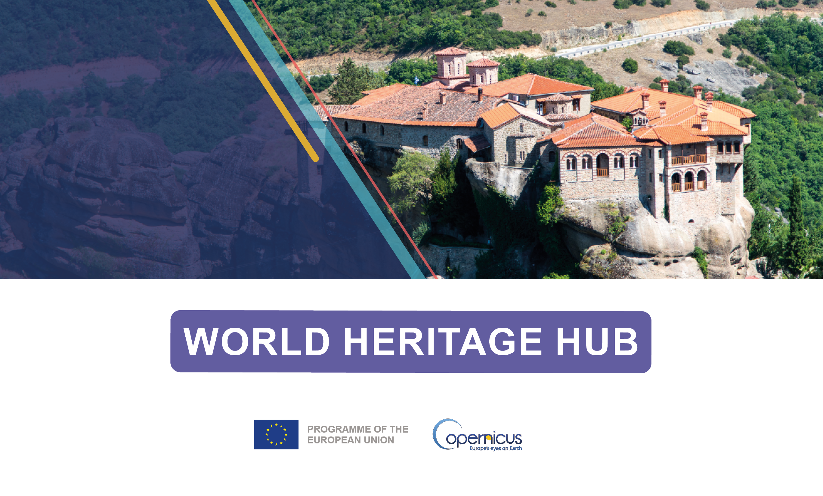
World Heritage Hub
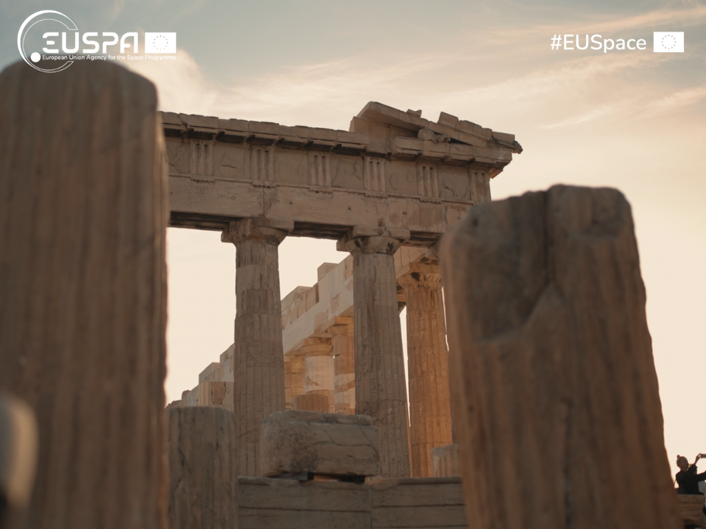
Copernicus and cultural preservation

Copernicus is Europe’s EO programme, providing open-access data about our planet.
While widely used for environmental monitoring, disaster management, and urban planning, Copernicus also offers powerful tools for cultural preservation. Through its network of Sentinel satellites, it provides high-resolution imagery and analytical capabilities that help monitor cultural heritage sites.
Copernicus enables authorities and researchers to protect monuments, archaeological landscapes, and historical sites from environmental threats, urban sprawl, climate change, and conflicts.
How is it used?
Key tools and products include:


Applications in Archaeology
- Discovery and mapping: Copernicus data can support new sites discovery and map known ones, and help suggest the presence of those hidden underground.
- Site monitoring: Time-series data allows monitoring of seasonal and environmental changes, reducing the need for extensive fieldwork.
- Risk management: Copernicus helps assess risks from urban sprawl, land use and land cover changes, coastline erosion, ground motion, and air pollution.
- Data analysis: Vegetation, moisture, and other indicators in satellite imagery can signal buried archaeological features.
- Preservation: Rapid damage mapping and long-term monitoring help safeguard sites during natural disasters or conflicts.
Challenges and solutions
- Limited budgets and resources: Copernicus data support managers to prioritise conservation efforts and optimise resources.
- Conflict damage: Very high resolution satellite imagery enables digital inventories of sites and post-conflict damage assessment.
- Remote locations: The use of high resolution satellite imagery ensures access to cultural heritage even in hard-to-reach areas.
Examples from the field
EUSPA’s role
EUSPA:
- Ensures reliable satellite data access and promotes its uptake across sectors, including cultural heritage
- Facilitates collaborations among EU institutions, member states, NGOs, international organisations and research centres to develop EO-based tools for heritage monitoring
- Strengthens Europe’s ability to preserve its cultural legacy using cutting-edge space technology through pilot projects, capacity-building initiatives, and funding support
World Heritage Hub
Developed by EUSPA, the World Heritage Hub is a web portal serving as unique access point to Copernicus data products and services relevant to cultural and natural heritage. It features interactive tools and datasets from various Copernicus services, supporting evidence-based monitoring, conservation, and management of heritage sites across the globe.
The World Heritage Hub’s goal is to empower decision-makers, researchers, and site managers with the tools they need to track changes, assess risks, and preserve the world’s cultural and natural legacy for future generations.