News archive

Filters

Industry sectors
  • Image
    BELS+ develops GNSS markets for EU companies and helps EU GNSS applications gain a foothold in South East Asia
    Date

    BELS+ aims to develop GNSS markets for EU companies and help EU GNSS applications gain a foothold in South East Asia. Towards these goals, the project is organizing a GNSS Data Processing training programme in Barcelona on July 11-13, in addition to a workshop on July 12 to raise awareness about business opportunities in South East Asia among European companies, professionals and institutions offering GNSS-based products and services.

  • Image
    Date

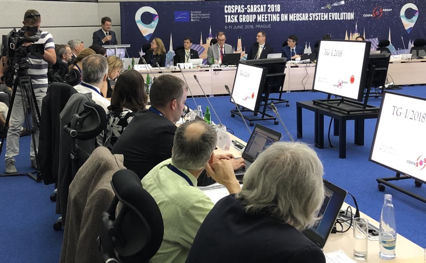
    The European GNSS Agency (GSA) hosted Cospas-Sarsat participants at its Prague headquarters on 5-11 June 2018, at a meeting to address matters related to the evolution of the Medium-Altitude Earth Orbit Search and Rescue (MEOSAR) system.

  • Image
    Date

    Mark your calendar for European Space Week 2018, and don’t miss out on the leading European space programmes conference, connecting business, policy-makers, international experts and space application user communities, which will take place in Marseille, France, on 3-6 December 2018.

  • Image
    Date

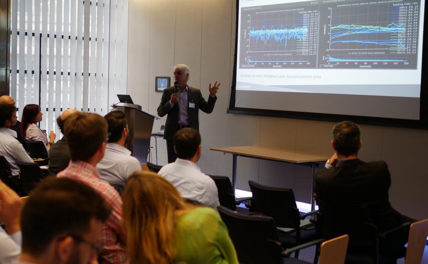
    The European GNSS Agency (GSA) hosted the GNSS Raw Measurements Taskforce workshop “GNSS Raw Measurements: From research to commercial use” on May 30, to share and explore experiences, use cases and opportunities enabled by Android GNSS Raw measurements.

  • Image
    Date

    The European GNSS Agency (GSA) is celebrating 10 years of association with the European Satellite Navigation Competition, looking back on a fruitful alliance and looking forward to this year's batch of Competition entrants.

  • Image
    Date

    The European GNSS Agency (GSA) joins with the European space community in paying tribute to Per Tegnér, former chair of the GSA Administrative Board.

  • Image
    Date

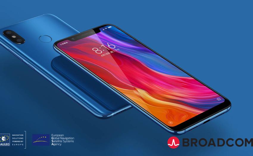
    Xiaomi - one of the fastest growing mobile brands - has launched the world’s first dual-frequency GNSS smartphone. Fitted with a Broadcom BCM47755 chip, the Xiaomi Mi 8, launched on May 31, is the world’s first smartphone providing up to decimetre-level accuracy for location-based services and vehicle navigation.

  • Image
    Date

    Using EGNSS (EGNOS and Galileo), the Hull to Hull (H2H) project is developing a system that will allow maritime vessels to navigate safely in close proximity to each other and to stationary objects, supporting mariners as they take navigation decisions and creating the fundamental conditions for autonomous maritime navigation.