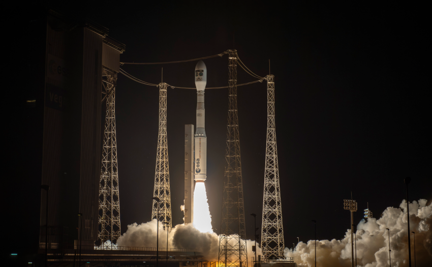
Sentinel-3C is now in orbit, set to support ocean monitoring and wildfire response while strengthening continuity of vital Earth observation data for users across Europe.
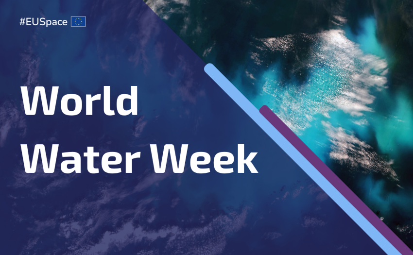
This World Water Week, discover how the EU Space Programme helps monitor water quality, track climate impacts and detect pollution, helping protect one of Earth’s most precious resources.
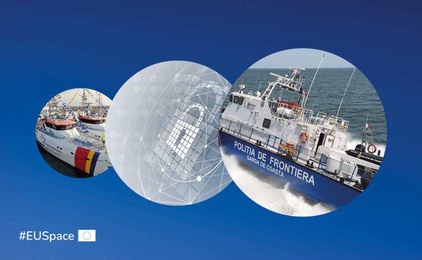
Romania will require Galileo-based authenticated positioning in new patrol vessels after a Black Sea pilot, leveraging EUSPA-delivered OSNMA to counter GNSS interference risks.
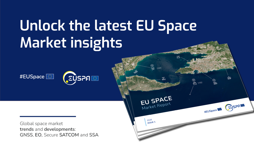
The report reflects how global space downstream sector has expanded beyond Earth Observation and Global Navigation Satellite System to include emerging areas like Secure Satellite Communication and Space Situational Awareness.
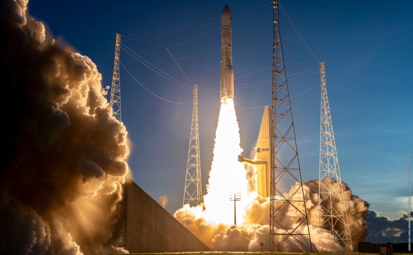
The EU Space Programme continues to advance, with the successful launch of Sentinel-1D, the upcoming Galileo Launch 14, and several additional missions planned for 2026, marking another strong step forward for Europe’s leadership in space and innovation.