Fisheries and Aquaculture

The Fisheries and Aquaculture demonstrator is a new online tool that integrates data from Copernicus CMEMS and EMODnet to support Seaweed farming operations.
Credentials to access the tool
Username: demo4euspa@eomap.de
Password: eodata4EUSPA!
The tool has been designed taking into consideration the user requirements expressed by aquaculture companies such as Seaweed solutions.
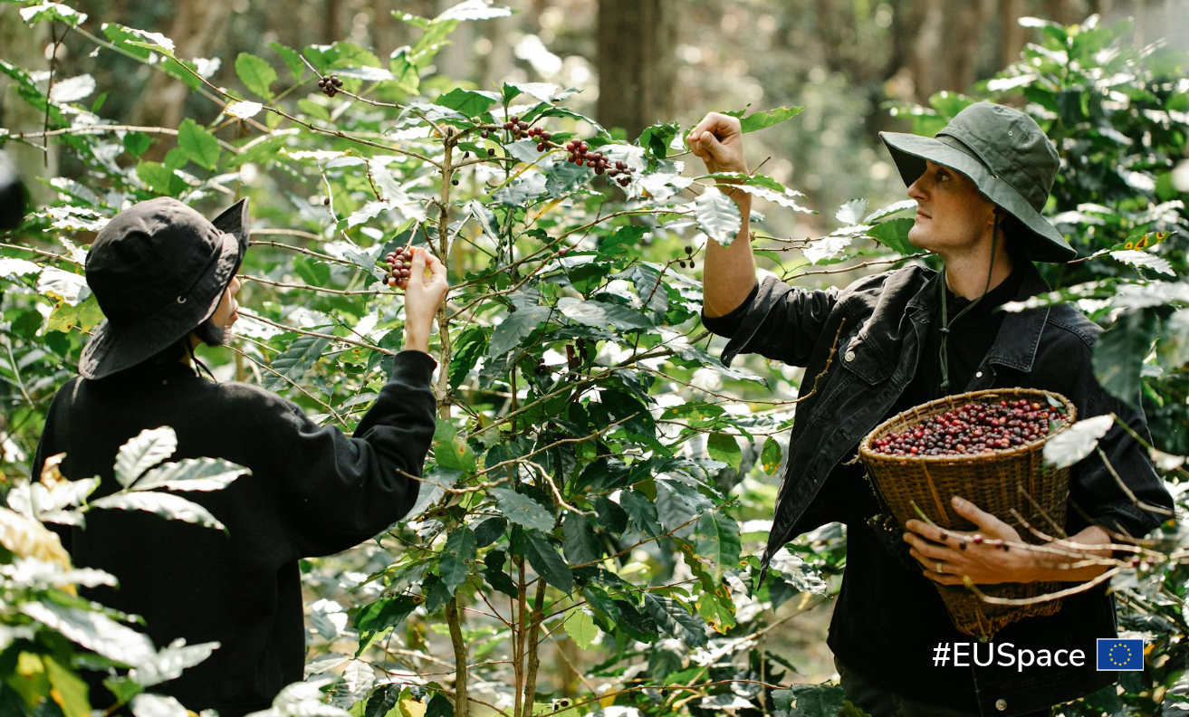
Seaweed is processed in many different products ranging from food, cosmetics, pharmaceuticals to biofuels. In Europe the seaweed market is on the rise and significant growth rates are expected up to 2030.
The tool is based on EO-based information describing the ecology and state of ocean. It allows to monitor critical water quality and ocean state parameters and identify seasonal and spatial patterns supporting operational decisions.
Near-realtime and retrospective data supply enable fast overview and keeping the big picture for farm operations and expansions.
The Tool holds a large potential for helping the seaweed farmers to overcome their current challenges including cost of operations at Sea and Better Site Selection leading to decrease of production costs.
The Copernicus demonstrator Seaweed demonstrator is a tool that provides with data coming from Copernicus CMEMS and EMODnet a support to Seaweed farmers to locate new potential farms and manage some operational aspects like time-to-seed, time-to-harvest and alerts.
EUSPA/NP/14/24 - Navigation Integrity & GNSS User Authentication Receiver Development (NAVIGUARD)
The objective of this procurement procedure is to conclude two Direct Contracts aimed at developing high maturity civil aviation receivers to demonstrate the feasibility of a next-generation DFMC SBAS and H-ARAIM receiver, implementing Navigation Message Authentication (NMA) functionalities, including OSNMA, to increase user segment resilience to Radio Frequency Interference.
Link to procurement procedure on EU Funding & Tenders Portal: EU Funding & Tenders Portal
Note that Corrigendum no.1 extended the deadline for submission of Request to Participate until 16/10/2025.
-
What is the Galileo SAR Service?

-
What does it do?

-
EUSPA’s role

-
Facts and figures

What is the Galileo SAR Service?
The Galileo Search and Rescue (SAR) Service contributes to lifesaving missions by quickly relaying distress signals to rescue teams using satellites and ground stations across Europe. It is the EU contribution to the Cospas-Sarsat system, the international satellite-based search and rescue network.
Galileo enhances global SAR capabilities by improving distress signal detection and providing faster response times and saving lives in the process.
Launch

Sectors
Purpose
What does it do?
Every second counts in a search and rescue mission. The Galileo SAR Service works with both efficiency and accuracy:
- SAR/Galileo Forward Link Service: Relay of Cospas-Sarsat distress signals to the ground.
- Signal detected by Galileo satellites carrying SAR almost immediately.
- Data relayed to ground stations (MEOLUTs).
- Location calculated and sent to Mission Control Centres (MCCs).

SAR/Galileo Return Link Service
Galileo is the only GNSS that provides a return link alert which informs the sender that their distress alert has been received and help is on the way.
Global coverage with MEOSAR
Galileo’s inclusion in the MEOSAR (Medium Earth Orbit Search and Rescue) system ensures near real-time detection and location of distress signals worldwide.

EUSPA’s role

EUSPA is the provider of the Galileo Search and Rescue (SAR) Service and holds the following responsibilities:
- Oversees the operations, maintenance and service performance of Galileo SAR.
- Acts as the contracting authority of the System and Services operations.
- Performs the Security Monitoring of the system under operations.
Facts and figures
-
What is the EGNOS Open Service?
-
What does it do?
-
Where can it be used?

-
EUSPA’s role
-
Facts and figures
What is the EGNOS Open Service?
The EGNOS Open Service (OS) is a free and open service that provides consistent accuracy to your GNSS-enabled device. This service works by correcting any positioning errors that may arise, providing consistency and accuracy to your GNSS device. It is used across a wide range of sectors and situations.
Launch
The EGNOS OS was launched in 2009.

Sectors
The Open Service is freely available to any user.
Purpose
To enhance the performance of GNSS for general-purpose applications.

Corrects errors affecting GNSS signals.

Addresses issues from satellite clocks, satellite positioning, and ionospheric effects.
Detects and prevents tracking of unhealthy or misleading signals.
Where can it be used?
EGNOS OS is used in various sectors, but mainly in:
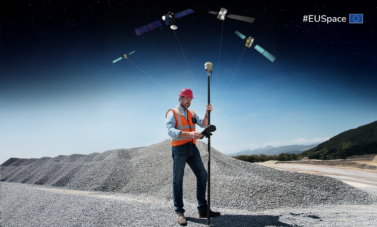
Agriculture
Improves precision agriculture by providing more accurate and reliable location data for farming.
Mapping and surveying
Supports high-accuracy GNSS by improving positioning precision in real-time.
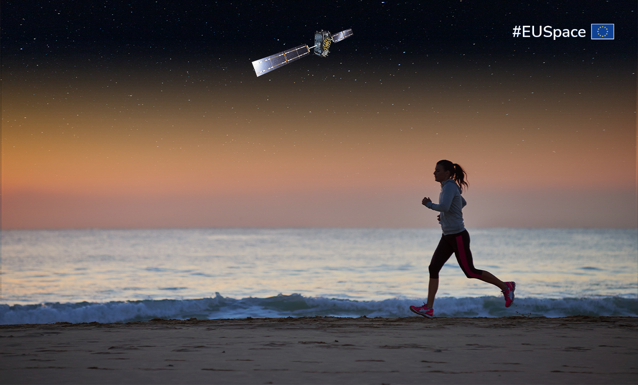
Outdoor recreation
Enables more accurate positioning for recreational activities, enhancing safety, navigation, and experience.
Fleet management
Aids fleet management systems by enhancing driver safety and route optimisation.


Mobile applications
Enhances GNSS on mobile devices, improving accuracy from 5 m to 1–2 m for maps, ride-hailing, and travel apps.
EUSPA’s role

EUSPA maintains, promotes, and monitors the EGNOS Open Service (OS), ensuring its compliance with performance standards and continuous support for users:
- Promotes the adoption of EGNOS OS across industries.
- Ensures compliance with service performance standards and Service Definition Document (SDD).
- Provides user support and system updates.
Facts and figures
- Improves the accuracy of GNSS to within 1 – 2 metres and is available 99% of the time.
- Free, open-access service for users across Europe.
- Mitigates common GNSS errors for improved reliability.
- Widely compatible with standard GNSS receivers.