Around 50 members gathered in mid-June in Prague to reinforce cooperation across the European space sector, enhance cybersecurity resilience and advance strategic priorities.
The report reflects how global space downstream sector has expanded beyond Earth Observation and Global Navigation Satellite System to include emerging areas like Secure Satellite Communication and Space Situational Awareness.
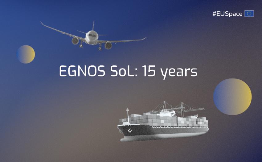
EUSPA, in cooperation with ESSP, releases high-level material to support the use of Global Digital Elevation Model DEM GLO-30 produced by the Copernicus Programme, as a terrain/surface input, to be used for Flight Procedure Design purposes.