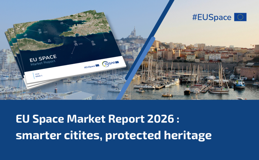
From smarter urban planning to protecting historic landmarks, satellite data are transforming how cities understand and manage the built environment. Part 2 of our EU Space Market Report series explores the trends behind this shift.
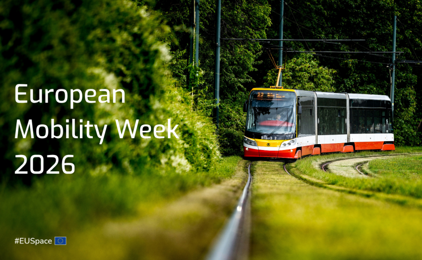
During European Mobility Week 2026, discover how Galileo, EGNOS and Copernicus support more reliable and sustainable public transport, helping advance the campaign’s vision of mobility for everyone.
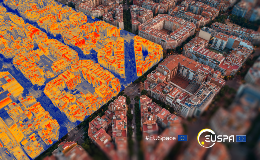
As July brings renewed heatwaves and temperatures above 40 °C in southern Europe, Copernicus Sentinel-3 data show how space-based observations support decisions on extreme heat and climate resilience.
SPACE4Cities is a EUSPA-funded pre-commercial procurement project that aims to use European satellite data to better manage public space, green areas, transport infrastructure and city maintenance.